Geoscience Reference
In-Depth Information
PAL data that characterize meteorological phenomena, including precipitation,
frontal passage, and development of boundary layer.
1. Introduction
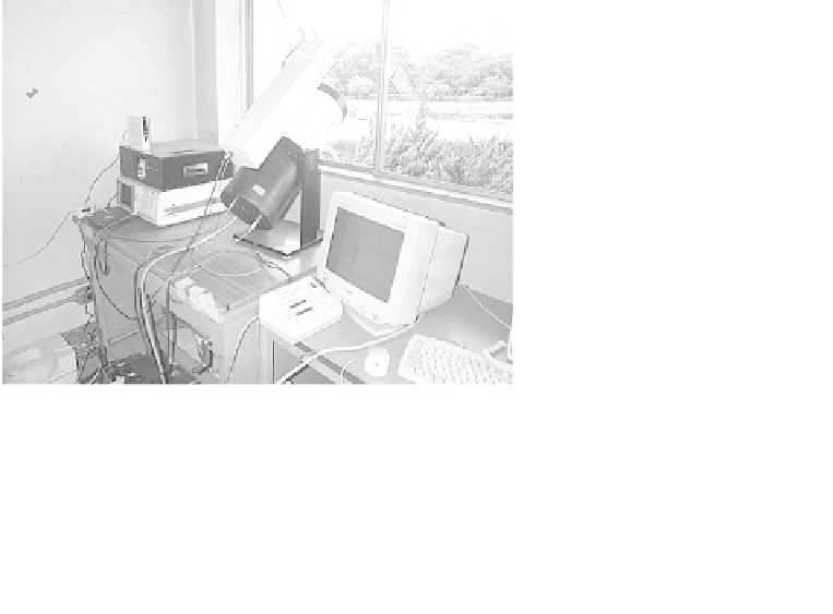
Since December 2002, we have operated a portable, automated lidar (PAL)
that provides data on the vertical profile of the lower atmosphere every
20 s (Fig. 1). Continuous data with such a fine temporal resolution is
valuable for systematic comparison between the lidar-observed features of
the atmosphere and their meteorological interpretations. The micro-pulse
lidar (MPL)
1
opened the way for continuously operating, automatic lidar
systems. The network of MPL systems (MPLNET) is providing data on
the boundary layer structure and cloud development at MPL sites. More
recently, Sugimoto
et al.
3
have constructed a lidar network consisting of
15 sites in east Asia, giving information on Asian dust with cooperation
of other lidar sites in Japan (Asian dust NET, ADNET). Instrumentally,
however, the MPL system often has diculty in long-term operations
because of the failure in the detector part resulting from its configuration (a
single telescope is used for both transmitting and receiving). In an attempt
to cope with this problem, we have adopted the design of the PAL in
which the laser is installed on the side of the telescope, thus separating
the transmitter optics and the receiving telescope.
Fig. 1.
Photo of PAL.