Geoscience Reference
In-Depth Information
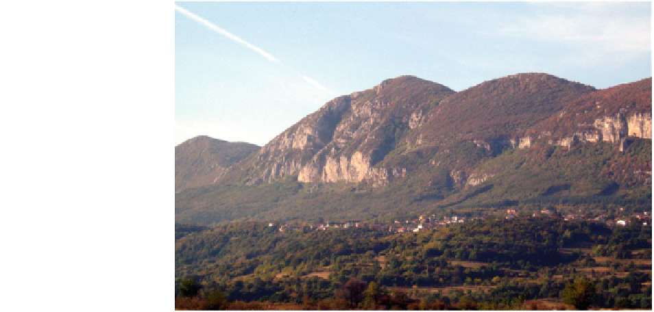
Fig. 2.31
View on the
eastern boundary of Vratsa
Block, Bulgaria
Moesian Platform, reflecting the contemporary ten-
dencies of the tectonic processes near the studied area
(Georgiev and Shanov
1991
).
Vratsa Block is an integral part of the large
Berkovitsa Block-Anticlinorium structure (after
Tronkov
1965
). The northern border of the block is a
remarkable flexure, built of sediments of Triassic,
Jurassic and Early Cretaceous age (Fig.
2.31
). The
flexure is discussed as the ductile effect of the move-
ments along a large fault, located northwards of the
flexure, and covered now by younger sediments. An
important role during the tectonic evolution of Vratsa
Block has been attributed to the longitudinal and
transversal faults. According to Tronkov (
1965
), the
analyses of all tectonic structures of Vratsa Block show
their genetic relationship to the lateral strain acting
with direction NNE-SSW (N30-40—N210-220).
This is the direction of the short deformation axis, the
long axis being directed N120-130. The faults in this
situation appear as shear structures.
regional water basis is formed by Lower Triassic
sandstones. These rocks are relatively highly elevated
with respect to the local erosion basis. The northern
basis of erosion is the Vratsa Plane, separated from
the
studied
karst
area
by
the
Kostelevo
Fault
(Fig.
2.30
).
There is now sufficient data for the Lower Triassic
aquifer. It is represented by a few outcrops in the
northern and eastern peripheries of the basin. The rocks
are weekly karstified. The aquifer receives its water
from the atmospheric precipitation, as well as by
infiltration from the lying on top karstic aquifer. A few
springs are draining it; the biggest of them is Chigoril
with discharge rate of 7-11 l/s (Antonov and Danchev
1980
). But the more constant and independent from the
atmospheric conditions discharge of the spring Chi-
goril is indicating the control of the water by the fault of
Chigoril. The vertical rate of displacement was eval-
uated to be more than 300 m (Chanov
1988
).
The principal aquifer (Upper Jurassic—Lower
Cretaceous) is totally exposed on the surface. This
fact predestines the high level of karstification related
to the possibility of intensive feeding from the
atmospheric precipitation. According to Spasov et al.
(
1998
), more than 54 % of the atmospheric precipi-
tation (in average 1,000 mm/m
2
per year) is feeding
the underground waters. Part of the water forms
temporal streams on the surface, but the water is
quickly drained in the dolines. The
Hydrogeological Characteristics
From hydrogeological view, the regional geological,
tectonic, physical, and geographical conditions pre-
destined the presence of a totally drained monoclynal
slope dipping toward north with two principal karst
aquifers—Triassic and Middle Jurassic. A relatively
thin terrigenous rock complex (Lower and Middle
Jurassic) is dividing the two aquifers. The common
karst springs