Geoscience Reference
In-Depth Information
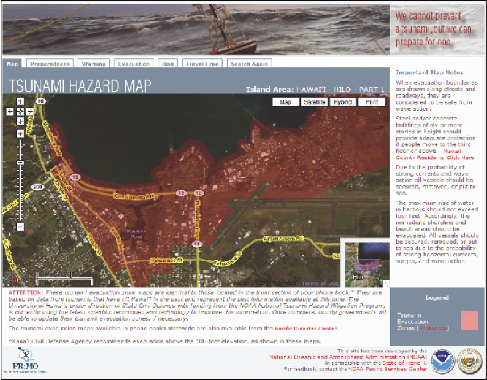
FIGURE D.5
Dynamic tsunami evacuation maps for Hawaiian communities served by an online mapping application. SOURCE: http://www.csc.
noaa.gov/psc/riskmgmt/tsunami.html; Paciic Services Center, NOAA.