Geoscience Reference
In-Depth Information
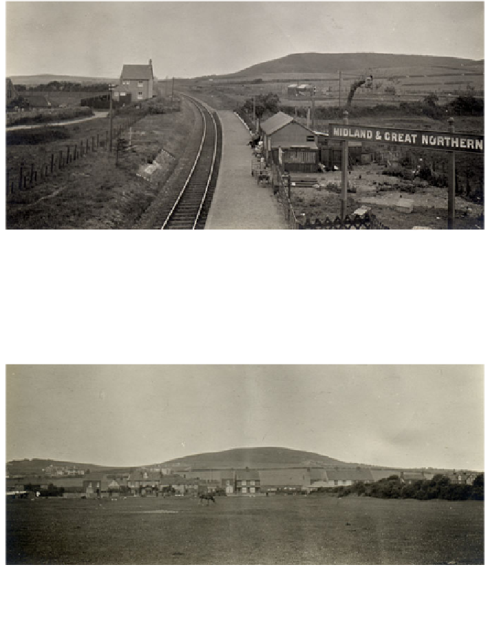
Fig. 3.29 P680291 (1907) Harmer's geological excursion to Norfolk. Looking west along the
former Midland & Great Northern Railway line between Mundesley and Weybourne with
hummocky drift features in the background near Sheringham. Harmer noted that such knoll-like
landforms are also common in other glaciated areas of northern Europe (Harmer
1910a
,
b
).
(CP13/050 Reproduced by permission of the British Geological Survey NERC. All rights
reserved)
Fig. 3.30 P680293 (1907) Harmer's geological excursion to Norfolk. Hummocky drift
landforms near Sheringham, Harmer recognised that these rounded hills or knolls were
characteristic landforms of a glaciated area (Harmer 1910). (CP13/050 Reproduced by permission
of the British Geological Survey NERC. All rights reserved)
c
Figs. 3.31, 3.32 and 3.33 P680283, P680284 and P680285 (1907) Harmer's geological
excursion to Norfolk. An inferred view of cliffs in northeast Norfolk between Weybourne and
Happisburgh. This section of cliffs mainly comprises glacial sands, gravels and clays which are
often twisted and contorted. Land-water draining through the soft strata causes a great deal of
slipping and gullying, and notable cliff-falls often occur. The fallen material is eroded by the sea
and although the average rate is about 1 m (3 ft.) per year it can occasionally be much greater due
to the effect of North Sea storms and wave action. A series of groynes are also visible which have
been built to protect the coastline from further erosion. (CP13/050 Reproduced by permission of
the British Geological Survey NERC. All rights reserved)