Database Reference
In-Depth Information
Figure
11.9
shows an
alternative spatial hierarchy
composed of several
nonexclusive spatial hierarchies sharing some levels. This example represents
part of the set of hierarchies used by the US Census Bureau. There are two
hierarchies, one representing the usual subdivision of the territory and the
other is the subdivision used for American Indian, Alaska Native, and Native
Hawaiian Areas (AIANNHAs).
County
State
Nation
CountyName
...
StateName
...
NationName
...
TribalBlock
Group
Number
...
TribalCensus
Track
Number
...
TribalCensus
Subdivision
Number
...
AmericanIndian
Reservation
Name
...
AIANNHAs
CensusBlock
Number
...
Fig. 11.9
An alternative spatial hierarchy
Figure
11.10
shows a parallel spatial hierarchy with two independent
hierarchies,
Location
and
OrganizStructure
, accounting for different analysis
criteria.
City
State
Region
CityName
...
StateName
...
RegionName
...
Store
StoreId
StoreName
StoreAddress
...
SalesGroup
District
DistrictName
...
SalesGroup
Region
RegionName
...
Fig. 11.10
Parallel independent spatial hierarchies
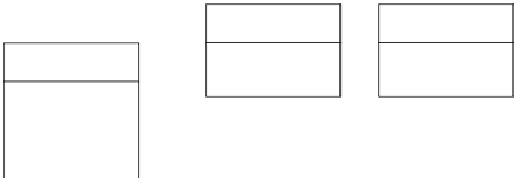
Analogous to the nonspatial case, a spatial hierarchy is nonstrict if it has
at least one many-to-many relationship. Figure
11.11
shows an example. The
many-to-many cardinality represents the fact that a lake may belong to more
than one city. Most nonstrict hierarchies arise when a partial containment
relationship exists, for example, when only part of a lake belongs to a city or
when only part of a highway belongs to a state.


Search WWH ::

Custom Search