Geology Reference
In-Depth Information
a
b
5
5
0
0
−5
−5
−10
−10
−15
−15
−20
−20
−25
−25
−30
−30
−50 km
−60 km
−35
−35
5 0 5 0 5 0 5 0 5
5 0 5 0 5 0 5 0 5
c
d
5
5
0
0
−5
−5
−10
−10
−15
−15
−20
−20
−25
−25
−30
−30
−80 km
−70 km
−35
−35
5 0 5 0 5 0 5 0 5
5 0 5 0 5 0 5 0 5
e
f
5
4.8
0
5
4.7
NECS
−5
0
SWCS
−5
4.6
−10
−10
−15
4.5
−15
−20
−20
4.4
−25
−25
−30
4.3
−30
−90 km
−35
−35
4.2
5 0 5 0 5 0 5 0 5
5 0 5 0 5 0 5 0 5
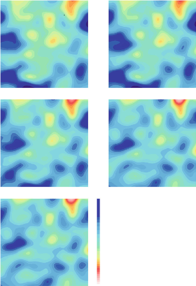
Fig. 1.11
(
a
-
e
) Shear wave velocities at depths of 50, 60, 70, 80 and
90 km.
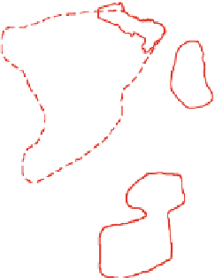
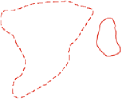
Solid red lines
show Archean cratons,
dashed red line
shows the
outline of the greater Congo Shield, the
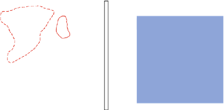
solid white line
shows the zero
thickness contour for the Mesozoic and Cenozoic sediments of the
Congo Basin and
dashed white lines
show rift faults as described in
Fig.
1.1
.(
f
)
Red
and
white lines
are the same as in figures
a
-
e
, and the
bold
,
black lines
show the SWCS and NECS proposed by Master
(
2004
)


Search WWH ::

Custom Search