Geology Reference
In-Depth Information
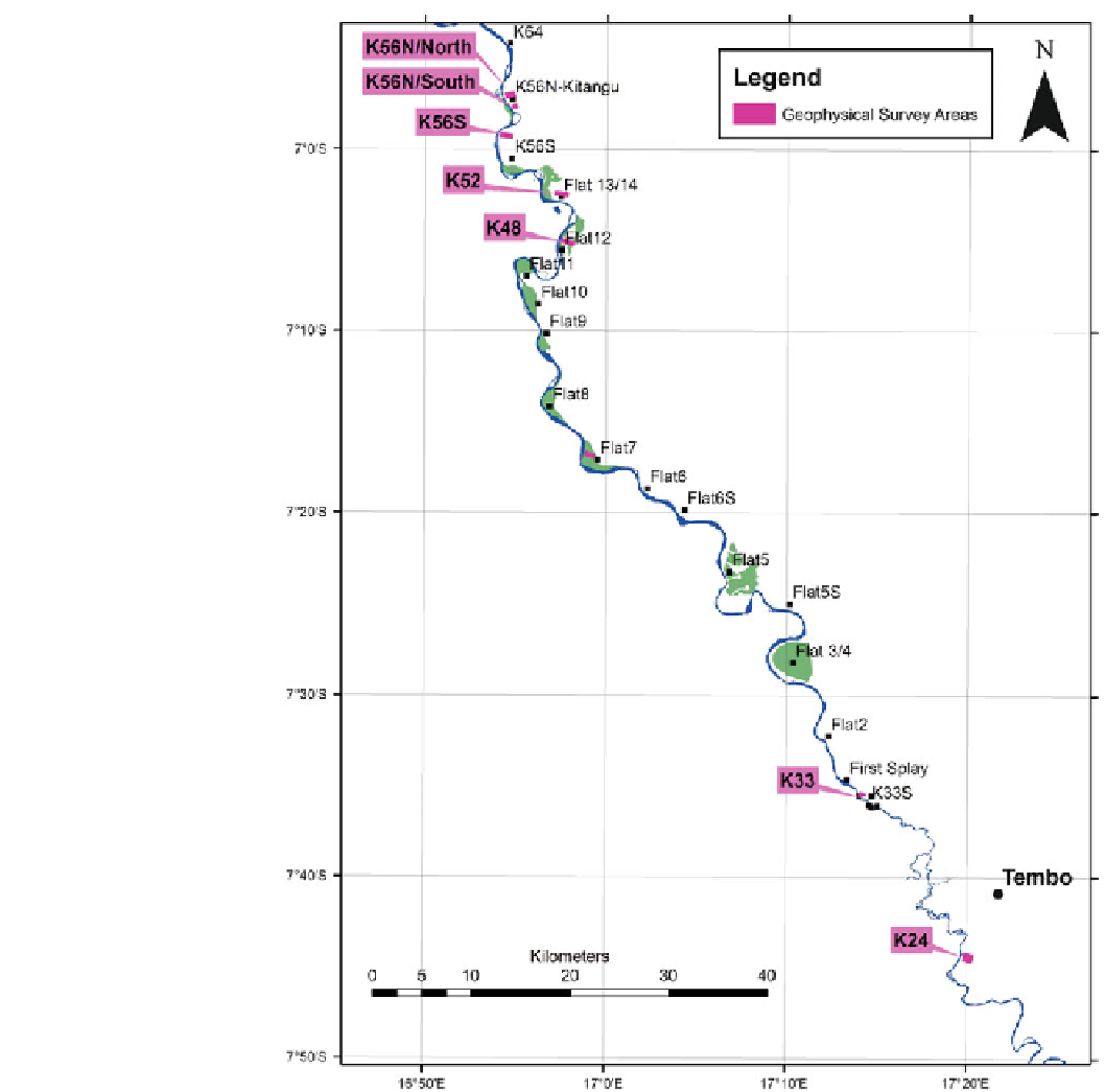
Fig. 16.10
Geophysical areas
along the Kwango River for
ground survey testing
16.5.2 Airborne Survey
From the gravity method Bouguer anomalies showed very
small variations of density (0.5 milligal) across the area mostly
due to possible sediment thicknesses over the basement. In
addition, the marshy conditions over most of the valley
thwarted any systematic gravity surveys. Finally, several mag-
netic profiles were undertaken across the project area but
provided no advantage in defining sedimentary targets or
trap sites that are possibly related to magnetic cross-cutting
dykes.
Based on the ground work tests described above a
helicopter-borne Versatile Time Domain Electromagnetic
(VTEM) geophysical survey was flown over eight blocks
covering some of the terraces and flats along the eastern side
of the Kwango River (Fig.
16.11
). Some 3,005 line-km
(296.5 km
2
) of geophysical data were acquired during the
survey (Asiamah
2006
). Survey blocks were flown at tra-
verse line spacing of 100 m (Blocks 4, 5, 6, 9 and 10) and
120 m (Blocks 1, 2, and 3) respectively, in a direction 55
N
to meet geological target specifications. Tie lines were flown
perpendicular to traverse lines.
Search WWH ::

Custom Search