Geology Reference
In-Depth Information
450 km
360 km
180
400 km
370 km
BATEKE PLATEAU
(Koukouya)
MBANDAKA 1
well
GILSON 1
well
DEKESE
borehole
SAMBA
borehole
YANGAMBI
(Kisangani area)
CUTTINGS
Sand
Sand
Sand
Sand
Sand
Sand
0
0
0
0
0
0
Clay1
K 60
S 30
I 10
?
deposits
K 55
S 35
I 10
Clay1
RG35-145
Incised channels
on Cretaceous -
Neoporoterozoic
sediment
Analcime 10
K 30
S 40
I 20
erosional
Clay2
(from de Heinzelin, 1952)
weathered
detailed log on Fig.6
3
1
0'
K 0
S 80
I 20
Clay2
10
m
10
m
10
m
10
m
RG35-166
RG35-170
4
5
0'
?
K 30
S 20
I 50
Clay3
560'
610'
RG35-176
Maximum Flooding
Surface (MFS)
RG35-183
K 0
S 30
I 70
Clay4
CRETACEOUS
CENOZOIC
unknown hiatus duration
700'
Weathered sediments
Cross-laminations
9
1
0'
Calcareous sediments
Silty sandstones
Sandy siltstones
Clayey siltstones
Claystones
K
: Kaolinite (%)
S
: Smectite (%)
I
: Illite (%)
MBANDAKA 1
310': Potamocypris ? sp.1, Potamocypris ? sp.2,
Eucypris sp.1, Cyprintus ? sp., Cypridopsis sp. -
abundant charophytes (Grambastichara sp.)
PALEOGENE
450': Cypridopsis sp.
PALEOGENE
560': Barren
GILSON 1
610'-700': Eucypris sp.
PALEOGENE
DEKESE
no Cenozoic fossils
SAMBA
no Cenozoic fossils
910': Ilyocypris compressa,
Ilyocypris lomamiensis
ALBIAN-CENOMANIAN
(from Le Maréchal, 1966 and Giresse, 1990)
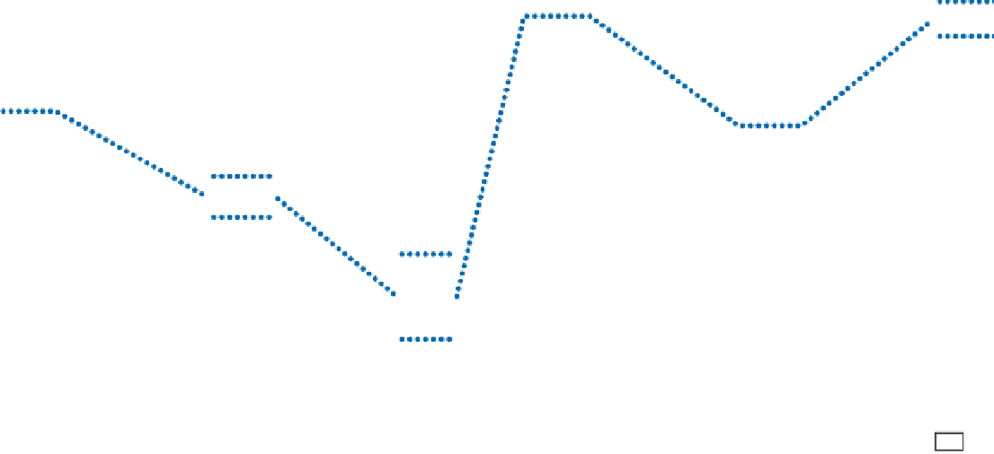
Fig. 14.3
Logs and correlations of the boreholes Dekese and Samba, the wells Gilson 1 and Mbandaka 1 and the surrounding outcropping domains, Bat´k´ Plateaus (Koukouya Plateau) and
Kisangani area (Yangambi cliffs). Clay mineralogy of Samba and Dekese boreholes from Vanderstappen and Verbeek (
1964
). Location maps on Plate 2 and Fig.
14.7


Search WWH ::

Custom Search