Geology Reference
In-Depth Information
18
o
E
2
2
o
E
20
o
E
thrust faults
antiforms
normal faults
D
Ki
ri
High
S
amba
Mbandaka
0
o
C
Lokonia High
2
o
S
Gilso
n
Dekes
e
Kwango
High
0
2
0
0 km
Kasai High
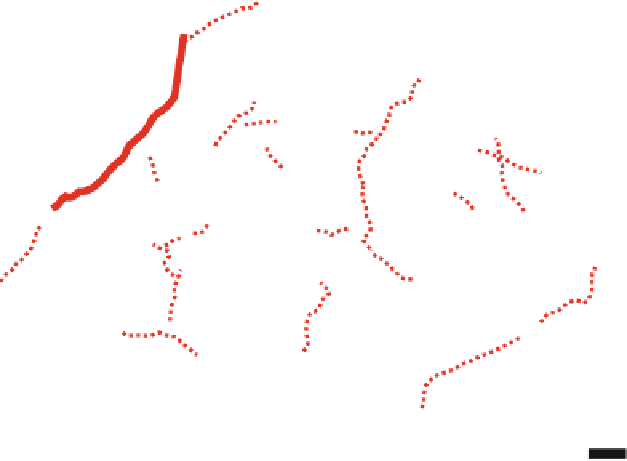
Fig. 7.7
Structural sketch map of the central CB with location of
seismic reflection lines and the four deep boreholes (modified from
Daly et al.
1992
). The profile C-D (
thick red line
) is re-interpreted in
Fig.
7.8
. The structures may represent a large-scale NW-SE
'
flower
structure
'
, or an extensional tilt (see text for further explanation)
at station 22, occurs both in the south and in the northern
parts of the profile (Fig.
7.6
). In the boreholes (Fig.
7.4
),
this unit corresponds to unconsolidated sandstones and
claystones (
Neoproterozoic evaporites. Thus, whilst the principal struc-
tural framework of the CB has been presented as a reticulate
fault pattern with transfer faults accommodating offsets
between the Kiri and Lokonia Highs, the available seismic
data are of poor quality and would require modern
reprocessing.
A NE-SW reflection profile, 170 km long along the
Congo River and across the Mbandaka section is re-
interpreted in Fig.
7.8
. This profile shows three major seis-
mic unconformity-bounded sequences, or supersequences,
which overlie a
2,200 m/s), designated to the (Cenozoic)
Kalahari Group (Cahen et al.
1959
, and 1960; Colin
Topic).
<
7.3.2.3 Seismic Reflection Data from the 1970s
Between 1974 and 1976, petroleum exploration work
acquired 36 reflection lines along rivers and roads, disconti-
nuously between the Congo and the Kasai Rivers in the
center of the basin (Fig.
7.7
for locations). The first inter-
pretation of these data described a series of two NW-
trending basement highs, named the Kiri and Lokonia
Highs (Lawrence and Makazu
1988
; Daly et al.
1991
,
1992
). Along the seismic profiles (e.g. Fig.
7.8
), truncations
of folded sedimentary packages along the flanks of these
highs clearly indicate compressive deformation. Accord-
ingly, the highs were interpreted to represent east- and
west-verging fold-and-thrust structures (
'
(Daly et al.
1992
) capped locally by distinct reflectors
of very high amplitude. In the Mbandaka section, these
reflectors correspond to massive dolomites grading upward
into interbedded brown sandstones with limestones
(Unit M10) that can be correlated to Pan African deformed
carbonate platforms surrounding the CB, such as for exam-
ple the upper Neoproterozoic West Congolian Group along
the western margin of the basin (Tack et al.
2001
; Frimmel
et al.
2006
; Chap.
3
, this topic). Along the seismic profile
(Fig.
7.8
), the carbonates are truncated by a regional erosion
surface (interpreted by Daly et al.
1992
as an early Pan
African unconformity). This first angular unconformity
(U1; Figs.
7.8
and
7.9
), located at a depth of
'
presumed basement of complex structure
'
flower structure
'
or
; Daly et al.
1991
). More recent studies (Crosby
et al.
2010
; Kadima et al.
2011
) have proposed that these
reflection data may also be interpreted as a series of rifts and
horsts bounded by normal faults, and further suggested the
probable influence of salt tectonic associated with deep lying
'
pop-up
'
3,991 m in
the Mbandaka-1 borehole, is considered to represent the base
of the Phanerozoic CB, above which the following three
supersequences are recognized:


Search WWH ::

Custom Search