Travel Reference
In-Depth Information
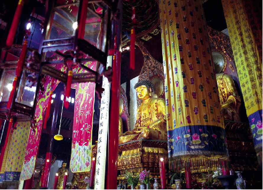
Lanterns inside the Jade Buddha Temple
Ryan Pyle/Apa Publications
Shanghai Municipality covers roughly 6,340 sq km (2,450 sq miles), within which lie its 17
districts. New district boundaries have been drawn, but the shape and feel of the old foreign
settlements and Nanshi ('the old Chinese City') are still discernible. Streets run north to south
and east to west in grid-like fashion, except for oval-shaped Nanshi, which follows the lines
of the old city wall, and People's Square, defined by the ghost of the old racetrack. The major
streets run the length of the city and have directional tags: Huaihai Road West, Central and
East, for example. Buildings are usually numbered sequentially (but not always); odd num-
bers on one side of the street and even numbers on the other; the numbering on residential
lanes
(longtang)
that run off the main streets bears no relation to the main street numbering.
The 98km (61-mile) outer ring road, the A20, takes a lap outside the city limits, while the
inner ring Zhongshan Road loops around the perimeter of Puxi and Pudong, changing its
name in Pudong and east Hongkou before turning back into Zhongshan Road. The city is bi-
sected from east to west by the Yan'an Road Elevated Highway. Crossing the Huangpu River