Agriculture Reference
In-Depth Information
and conventions that are unique and contain a graphic language to
represent a specific place in the world and its physicality. Maps and the
written word are both used to convey ideas, descriptions, attitudes, and
values. Maps have the added quality of noting and conveying measur-
able values with the capability to represent a three-dimensional world
as well. Just as we talk about reading text, maps are also read. From the
symbols, lines, and numbers that are used to create maps, we can “see”
and determine dimensions and distances, elevations, physical features
including landform, and a multitude of natural or cultural features. The
preparer of a map may also provide directions or record what is on a
piece of property or tract of land.
hoW to find and Locate pLaceS in the
LandScape, or: Where am i?
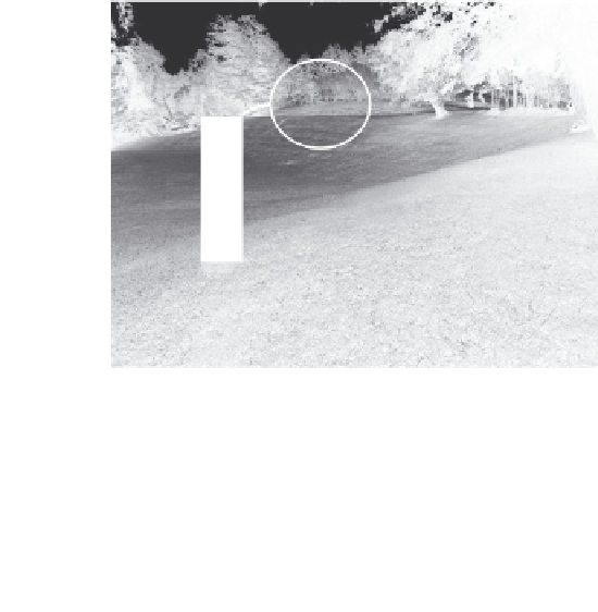
To answer the question “Where am I?” posed in Figure 6.1, look for the
answer represented in Figure 6.2. Your location, or that of some feature
of a site such as a building or water fountain, is linked to a horizontal
control referencing system generally utiliz-
ing coordinates or a grid. The elevation is
tied to a vertical control system, generally
a system based on ocean high tide and a
system of bench marks placed throughout
a given governmental jurisdiction, such
as a city, linked to a topographic survey.
The title of this chapter is: “Where
Are You?” It is a question that may seem
to have an easy answer. One could answer,
“Well, I am here!” But where is here? Ger-
trude Stein, an important early twentieth-
century American author, famously stated,
in referring to her home town of Oakland,
California: “When you get there, there is
no there, there.” In most instances, the
Where
am I?
Figure 6.1
A photo simulation to help the reader visualize
the difficulty in answering the question “Where am I?”
Without any visible or known reference features or ref-
erence system, there is no way of communicating your
location to others.


