Agriculture Reference
In-Depth Information
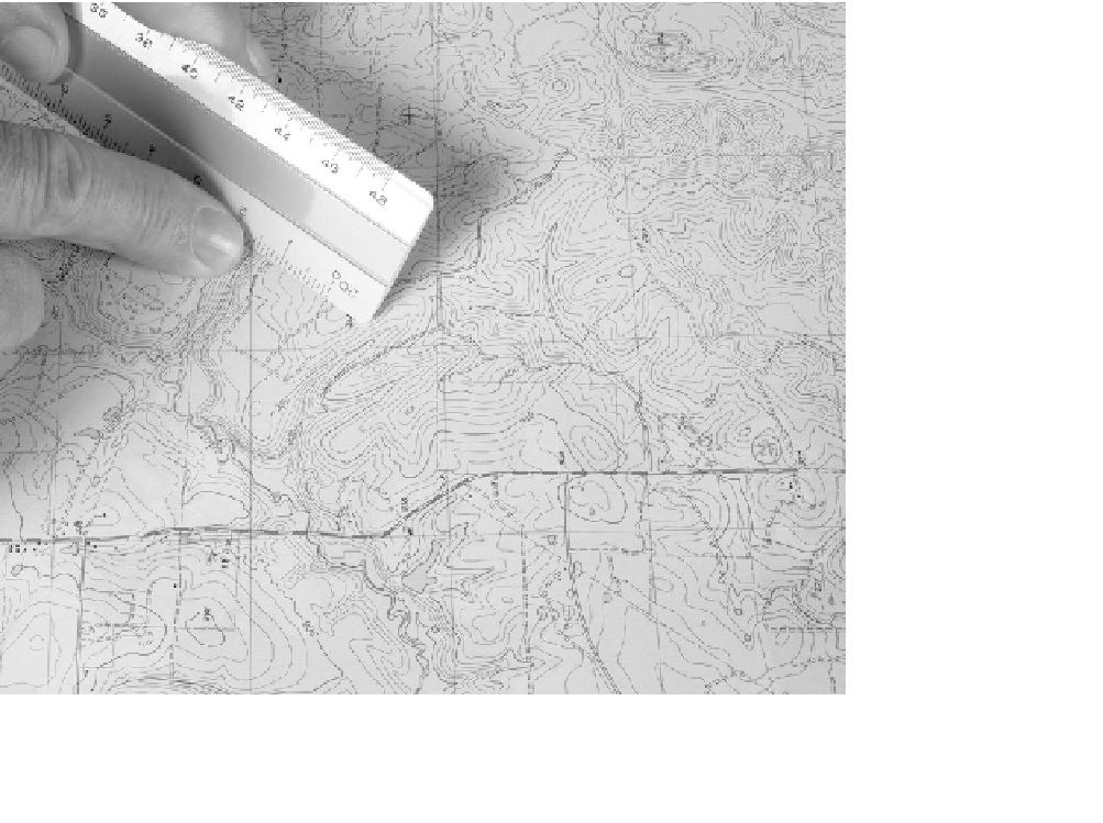
A grading plan or land survey map with a 20 scale means that one inch
equals 20 horizontal feet on the ground. A 100-scale map means that one
inch measures 100 horizontal feet on the ground. In the United States a
second scale—architect's scale—is used. The units are divided into frac-
tions of an inch. For example, a quarter- or half-scale drawing means that
every ¼ or ½ inch equals one foot on the ground. Drawings prepared
by building architects use an architectural scale. Most drawings that
supplement the architect's drawings—such as the structural, electrical,
and mechanical drawings—also use an architect's scale. Civil engineer-
ing, landscape architecture, and land survey drawings use an engineer's
scale for design work and associated topographic and land surveys, roads,
and utilities such as storm water systems. Site-grading plans are almost
always prepared using an engineer's scale. See Figure 4.5.
Figure 4.5
Engineer's scale used to measure slope on a USGS topographic map