Agriculture Reference
In-Depth Information
105
110
100
95
115
120
125
130
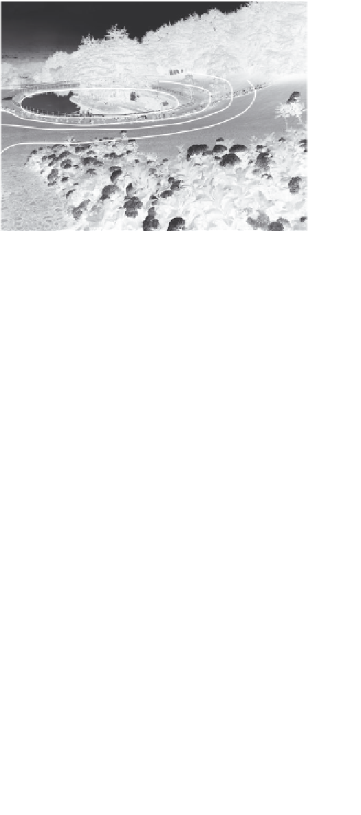
Figures 11.9-a and 11.9-B
A portion of sloping farmland with a retention pond at the bottom of the slope
Compare Figure 11.9-A with 11.9-B. Although they are the same
scene, 11.9-B includes contour lines. The contours provide additional
information about the scene. They emphasize the undulating landform
and serve to give the viewer a better understanding of the elevation dif-
ference from the lower pond to the upper, planted area. Take an addi-
tional step, and a land survey could produce an accurate topographic map
of the scene in two dimensions with the contours accurately provided.
From the topographic map one could manip-
ulate the contours to change the landform,
for instance to create several small ter-
raced areas on the now sloping ground, to
accommodate a meandering walk from the
upper area to the pond.
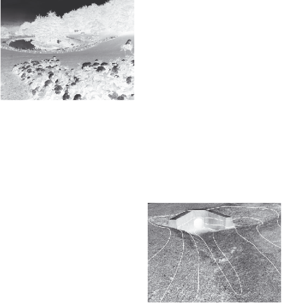
A picture of a culvert inlet is shown in
Figure 11.10. You may have often passed by
a similar culvert but never stopped to look
at it or even noticed its existence—not that
you had any reason to do so. Figure 11.10
shows one end of a culvert going under an
entrance driveway with a drainage swale
that carries water from the upper end of the
32
33
31
32
31
30
Figure 11.10
The drainage swale is directing water
toward a culvert