Agriculture Reference
In-Depth Information
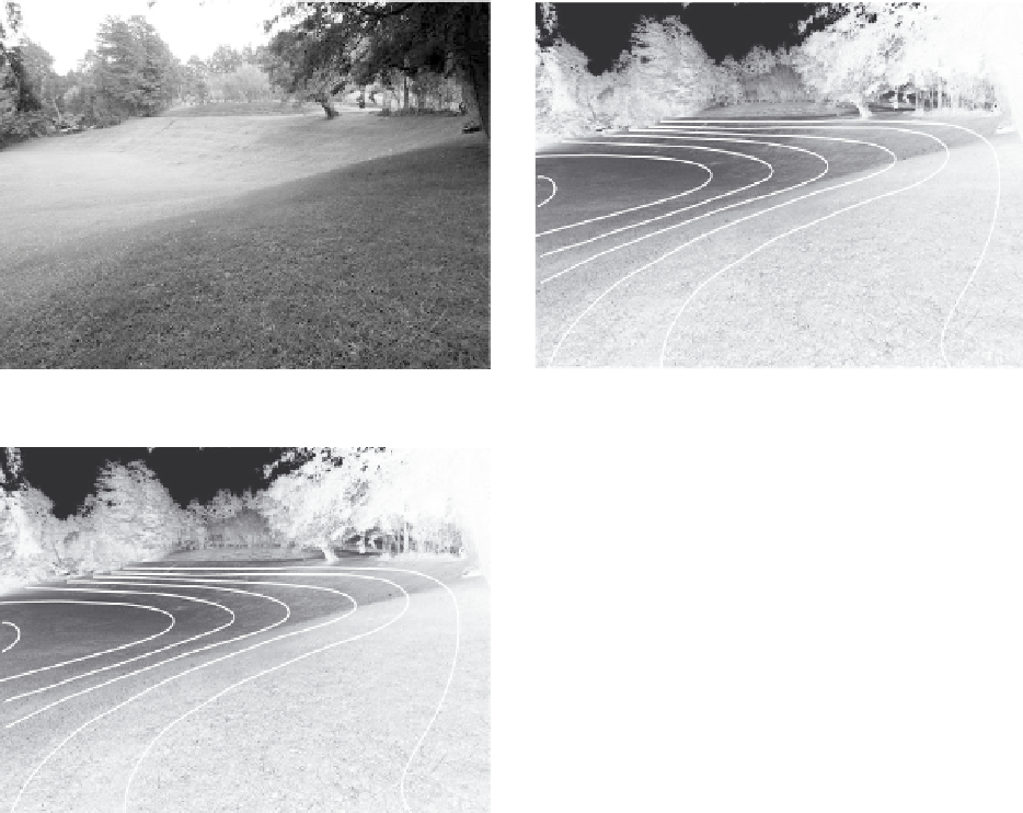
by the local jurisdiction. The contours gain a foot in elevation as we go
higher up the slope to an elevation of 107 feet. Figure 11.6-D was created
to show what the contours would look like in plan.
Figure 11.6-a
Landscape without contours
Figure 11.6-B
Landscape with contours
106
105
104
103
102
101
100
106
105
104
103
102
101
100
100
101
102
103
106
104
105
Figure 11.6-C
Landscape with contours and their
elevations
Figure 11.6-d
The landscape
with the contours shown in plan
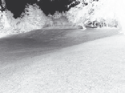
Figure 11.7 illustrates how manipulating the contour lines can cre-
ate a level area, identified in the center of the photograph. The arrows
represent the creation of a swale to guide the flow of water from the
106 contour around the level area, and direct the water onto the lower