Travel Reference
In-Depth Information
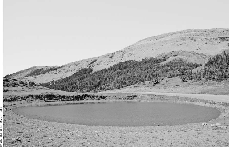
the top of Plateau Mountain
Zephyr Creek
• Length: 4.5 kilometers/2.8 miles (90 minutes) one-way
• Elevation gain: 180 meters/590 feet
• Rating: moderate
• Trailhead: Sentinel day-use area, east of Highwood Junction along Highway 541
The walk itself along Zephyr Creek is easy enough, but the trail commences only after a
difficult ford of the Highwood River from Highway 541. From the picnic area, descend
and wade across the river to an old logging road. Turn right, then keep left, climbing
slowly into the valley through which Zephyr Creek flows. The trail crosses the creek twice
before reaching a small cairn marking the entrance into Painted Creek Valley. Where the
valley walls close in, 800 meters (0.5 mile) from Zephyr Creek, pictographs can be found
on the rocky canyon wall, one meter (three feet) up from the ground.

Search WWH ::

Custom Search