Environmental Engineering Reference
In-Depth Information
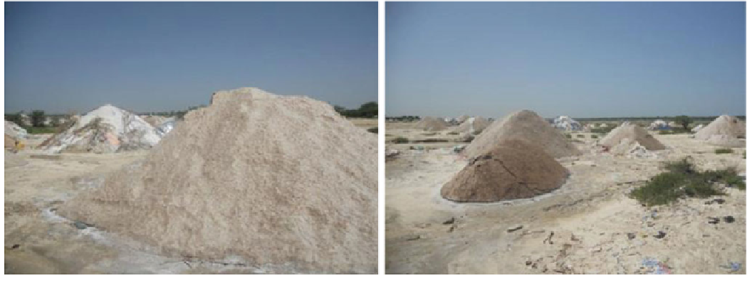
Photo 4
Salt exploitation at Ndiebene Gandiole (LINUS, December 3, 2012)
Effects on the Morphology of the Lower Estuary
module of the ArcGis 10 software. The use of this process
is also justified by the significant number of images com-
posing our working database. Moreover, the goal here was
to highlight the evolution of the limits of the Langue de
Barbarie between October 2003 and October 2012. As a
reminder, measurement of the length of the Langue de
Barbarie is based on a reference line located at the right of
the Faidherbe Bridge; it is the same reference as that used in
the historical documents (Gac et al.
1982
).
There is evidence, according to analysis of the data for
the width of the breach and length of the northern segment
of the spit (Fig.
5
), that there have been four major periods
in the evolution of this environment. Generally, one notes
strong erosion which results in important surface losses on
the coastal side of the Langue de Barbarie and on the
internal banks of Gandiolais. The most affected zone seems
to be Doun Baba Dieye Island which, in one decade, lost
more than three quarters of its surface area, resulting in the
displacement of many families and the loss of their agri-
cultural lands and thus their incomes.
From 2003 to 2006, there was a steady increase in the
size of the breach and a relative stability of the northern
portion of the sandy spit. The year 2005 was marked by the
closure of the old mouth, thus creating a closed lagoon,
suggesting significant ecological problems, because of the
situation of the Langue de Barbarie National Park. Indeed,
the disappearance of the small island which shelters the
breeding of some migratory birds could affect tourism, one
of the principal businesses of the St. Louis region.
Between 2007 and 2008, there was a reduction in the
width of the breach which was accompanied by a regression
of the spit. From 2009 to 2010, the breach widened steadily
without resulting in a significant movement of the spit
southward. In addition, this period was marked by the
appearance of a small island to the south of the northern
spit, in June 2010.
The Senegal River estuary and particularly the littoral spit
of the Langue de Barbarie have always been subjected to a
strong instability of their morphology, conditioned primar-
ily by hydroclimatic and hydrodynamic factors.
The mobility of the furthest part of the Langue de Bar-
barie which always marked the Senegal River mouth is used
as an indication of the morphological evolution of all the
area. According to measurements carried out on the
mobility of the spit since 1658, movement towards the south
has generally been regular, punctuated of temporary
movements back towards the north. After each breach, the
spit returned to its movement towards south. It was this
typical evolution which was observed until the commis-
sioning of the Diama dam in 1985 and the opening of the
breach in October 2003. The opening of this breach was a
major and significant change of the environment of the
Langue de Barbarie. Indeed, the Senegal River mouth was
shifted by 30 km, to about 7 km south of St. Louis, with a
similar shortening of the littoral spit (Table
2
).
A multi-annual monitoring of the Langue de Barbarie
has been made using LANDSAT imagery. Methodologi-
cally, the choice of LANDSAT imagery is justified pri-
marily by its accessibility; the resolution of the images
(30 m) and their scale (approximately 1/200,000e) consti-
tute one of the major limits to their use. However, the
selected images enabled us to trace, with acceptable accu-
racy, the limits of the Langue de Barbarie and its evolution
from 2003 to the present. The mapping of the extent of the
Langue de Barbarie is based on the use of the instantaneous
shoreline as a reference line for all the years studied. This
methodological choice may be debatable, given the heter-
ogeneity of the images in terms of dates of acquisition, tidal
conditions, etc. (Faye et al.
2008
). The identification of the
shoreline was carried out automatically by the vectorization
Search WWH ::

Custom Search