Geoscience Reference
In-Depth Information
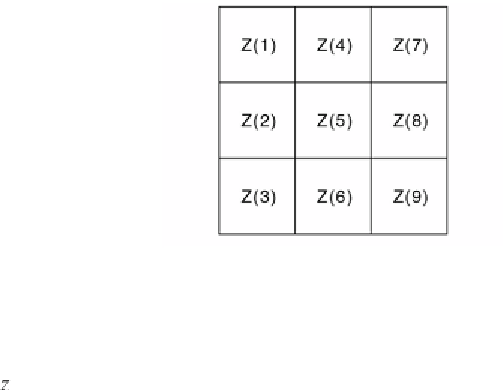
Fig. 7.13
Local neighborhood showing the MATLAB cell number convention.
and
where
h
is the cell size, which has the same units as the elevation. Using the
i nite dif erences, the slope is then calculated by
Other primary relief attributes such as the
aspect
, the
plan
, the
proi le
and the
tangential
curvature
can be derived in a similar way using i nite dif erences
(Wilson and Galant 2000). h e function
gradientm
in the Mapping Toolbox
calculates the slope and aspect of a data grid
z
in degrees above the horizontal
and degrees clockwise from north. h efunction
gradientm(z,refvec)
requires
a three-element reference vector
refvec
. h e reference vector contains the
number of cells per degree as well as the latitude and longitude of the upper-
let (northwest) element of the data array. Since the SRTM digital elevation
model is sampled on a 3 arc second grid, 60∙60/3=1200 elements of the DEM
correspond to one degree of longitude or latitude. For simplicity we ignore
the actual coordinates of the SRTM subset in this example and use the indices
of the DEM elements instead.
refvec = [1200 0 0];
[asp, slp] = gradientm(SRTM, refvec);
We display a pseudocolor map of the DEM slope in degrees (Fig 7.15 b).
h = pcolor(slp);
colormap(jet), colorbar