Travel Reference
In-Depth Information
A Drive Through
Karst Country
Morning
Begin your drive at the
coastal town of
Arecibo
.
After exploring the city's
main sites, head south
along Carretera 129, and
then follow the signs that
lead uphill to the
Arecibo
Observatory
. After two
hours of exploring the
visitor center and admiring
the radio telescope and
the spectacular setting
here, drive down south
toward the
Parque
Ceremonial Indígena
Caguana
. About one hour
is required to explore this
fascinating Taíno cere-
monial site. Then follow
Carretera 111 west to the
charming mountain town
of
Lares
where you can
have lunch. Try the tropical
fruit-flavored ice cream at
Heladería de Lares
.
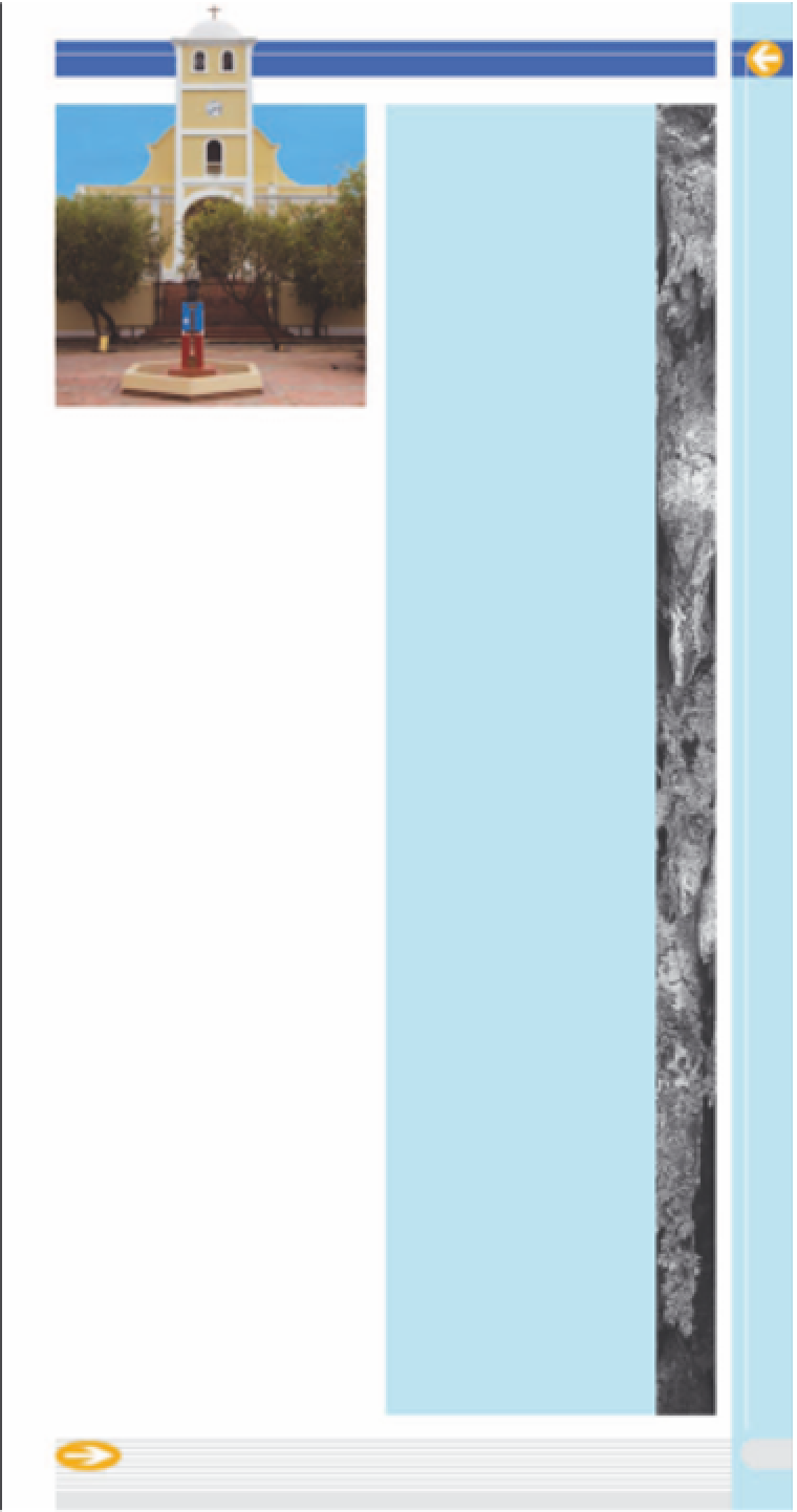
Plaza de la Revolución, Lares
reservoir where you can rent a
boat and fish for bass.
d
Map C2
• Carretera 446 Km 10, Guajataca • 787
872 1045 • Open 8am-5pm
(
Lares
The scenic drive to reach
Lares is reason enough to visit
this small mountain town, which
is famous for El Grito de Lares
(The Cry of Lares), the nationalist
uprising that launched the island's
independence movement. A 19th-
century cathedral stands over
Plaza de la Revolución, but the
square's most popular building is
the Heladería de Lares, where
you can buy tropical fruit-flavored
ice creams.
d
Map D3 • Heladería de
Lares: Calle Lecaroz, Lares; 787 897 3290
Afternoon
Continue your drive
northward on Carretera
129 for
Parque de Las
Cavernas del Río Camuy
,
where you can take a
guided excursion into the
caverns; it can be cool,
and the walkways are
slippery, so carry along a
sweater and wear shoes
with good grip. Then press
on westward on Carretera
119 fo r
Lago de Guajataca
,
a man-made lake, and
the
Bosque Estatal de
Guajataca
- you can stop
here for a short hike or
fish for bass. Don't forget
to keep an eye on the road
as you take in the wonder-
ful karst scenery along
Carretera 113. Pass through
the town of
Quebradillas
and continue northwest
to
Playa de Jobos
. This
beach is a good place to
surf. You can also sample
some local cuisine at
Happy Belly's
(see p71)
.
)
Bosque Estatal
Cambalache
This forest preserve is ideal for
hiking and mountain biking with
just 4 miles (6 km) of level trails
among royal palms, teak, and
trees endemic to the island, such
as
matabuey
. The karst scenery
is spectacular, with trails winding
along canyon bottoms at the
base of soaring
mogotes
. Bird-
watchers can spot endemic
species such as the Puerto Rican
bullfinch. Bats are numerous and
swarm out of their caves at sun-
set.
d
Map F2 • Carretera 682 Km 6.6
• 787 881 1004 • Open 9am-4pm
69