Global Positioning System Reference
In-Depth Information
benefit to commercial fishermen in providing the ability to monitor small changes in
speed caused by a dragged net's snagging, allowing rapid response to prevent seri-
ous damage. There is also obvious application in sailboat and yacht racing for this
kind of speed accuracy. The combination of SOG with wind speed and speed
through the water gives information about set and drift and apparent wind speed
and direction. Accurate speed of advance is also available, aiding the yachting
tactician in finding the fastest route to the mark.
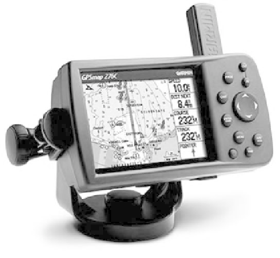
Figure 12.2 shows a marine navigator with database management capability
and graphical display of position and speed information. In this market, ease of use
and the ability to manage a large database of waypoints and sophisticated cartogra-
phy are key requirements.
Ferries and cruise lines are also prime candidates for accurate navigation sys-
tems. There are almost 1,000 ferries operating in North America and over 100
major cruise ships. On any major cruise ship you can usually visit the bridge and see
a plethora of GPS navigators, electronic chart displays, and other equally impressive
electronics. Since the grounding of the oil tanker Exxon Valdez in March 1989 and
the resulting oil-spill damage, there has been a time-tabled mandate to provide ADS
capabilities to all oil carriers using the Port of Valdez in Alaska. Similar require-
ments are found in other world harbors. These systems derive a ship's position from
GPS and transmit it via a radio link to a control station on the shore. The ship's
position can then be monitored by the Coast Guard or other agency, and dangerous
situations can be alarmed and rectified. Because of the critical nature of this radio
link, and the development of new long-range communications technologies, com-
munications carriers such as INMARSAT are heavily involved in ADS systems and
are the primary market for this positioning technology. Most of the world's 6,000
oil tankers are now fitted with GPS/ADS equipment.
Figure 12.2
Typical GPS marine navigator. (Courtesy of GARMIN.)
Search WWH ::

Custom Search