Travel Reference
In-Depth Information
Inland Island Highway, but to take in the best the island has to offer, stick to the old route.
Along the way you'll pass sandy beaches, resorts, and old logging, mining, and fishing
towns that now base their existence to a large degree on tourism.
AtParksville,Highway4turnsoffwestandleadsthrough“oooh”and“aaah”mountain
scenery to the relatively untamed west coast. There you'll find picture-perfect fishing vil-
lages, driftwood-littered sand for as far as you can see, and Pacific Rim National Park,
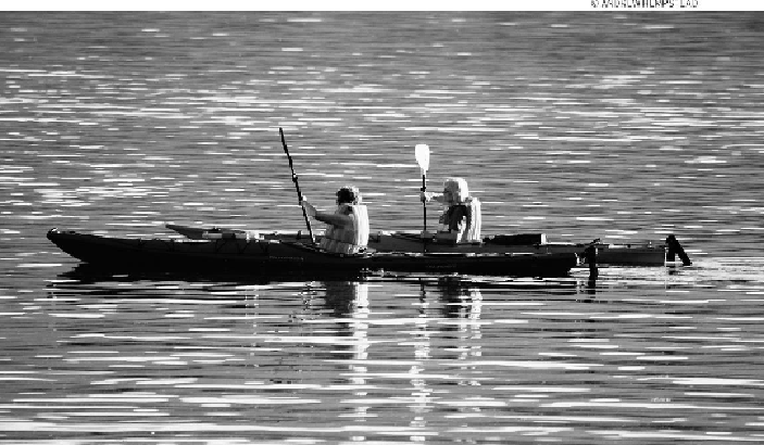
the island's only national park. Also on the west coast is Tofino, a base for sea kayak-
ing and whale-watching on Clayoquot Sound. Farther north up Highway 19, at Camp-
bell River, Highway 28 cuts west to Gold River, passing through enormous Strathcona
Provincial Park. North of Campbell River lies a surprisingly large area mostly untouched
by civilization—in fact, today you can still find maps of the island that fizzle out above
Campbell River. Unique Telegraph Cove, a boardwalk village known for its fishing and
whale-watching activities, and intriguing Alert Bay on Cormorant Island are highlights
northofCampbell River.Finally,theroadendsatPortHardy,thelargestcommunity north
of Campbell River and the terminus for ferries to Prince Rupert.