Environmental Engineering Reference
In-Depth Information
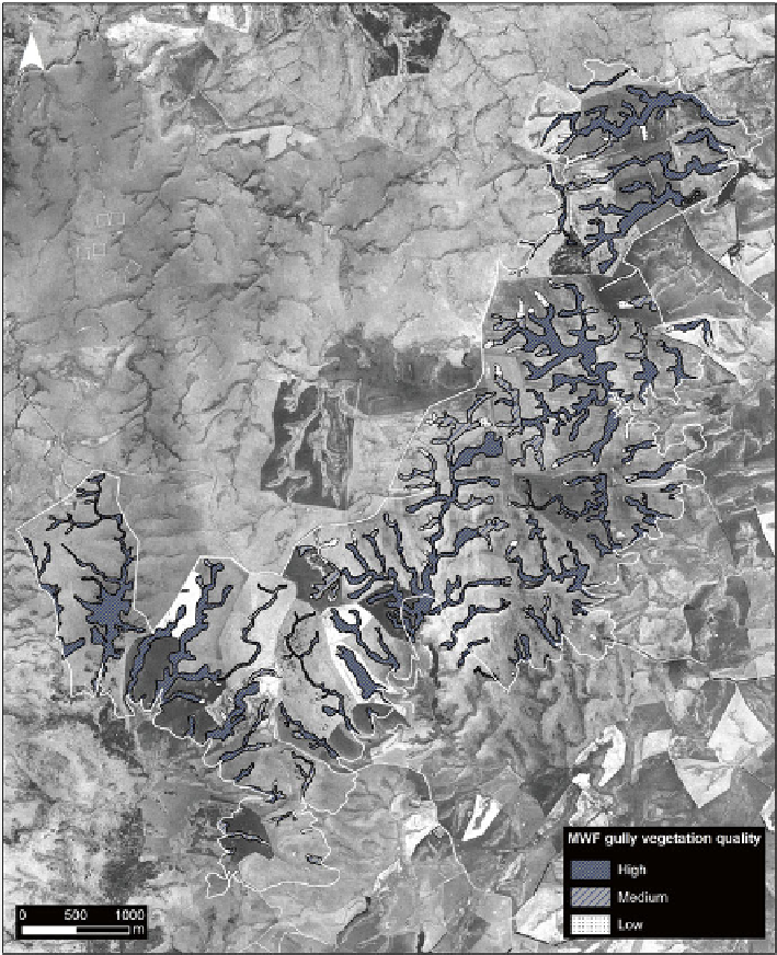
Fig. 2
Distribution of vegetation and habitat quality within gully systems of the Mahinerangi
Wind Farm development envelope. See text for gully vegetation quality criteria
Systems (GIS) (Figs.
1
and
2
). These constraints maps can be overlaid with other
constraints (e.g. slope stability, geotechnical constraints, roading layout) to provide
an overall comprehensive layout of the site.
For the MWF, the benefi ts of the constraints mapping meant that the turbine
envelope was founded upon the early identifi cation and avoidance of the site's
environmental values, but retained the fl exibility in turbine specifi cations and