Travel Reference
In-Depth Information
Top of the World Hwy
This “highway” is partly paved, partly dirt and partly potholes linked by narrow ribbons of
rocks and gravel. It starts 20 km /13 mi from Tok, Alaska at a place called Tetlin Junction. In
Alaska it is called the Taylor Hwy. Once it crosses the US/Canada border it is called the Top
of the World Hwy and continues through to Dawson City, Yukon. For the first 102 km /64
mi it is paved, except where the pavement has disintegrated. The on-again, off-again pave-
ment turns into constant gravel about the time we reach the town of Chicken, Alaska.
To this point the road is not all that interesting in terms of foliage, mostly black spruce and
dried out taiga. But the cool thing is that it climbs steeply into the high country then liter-
ally wanders from peak to peak along the ridges without really descending. Which is why, I
guess, they call it the top of the world. It does feel like that.
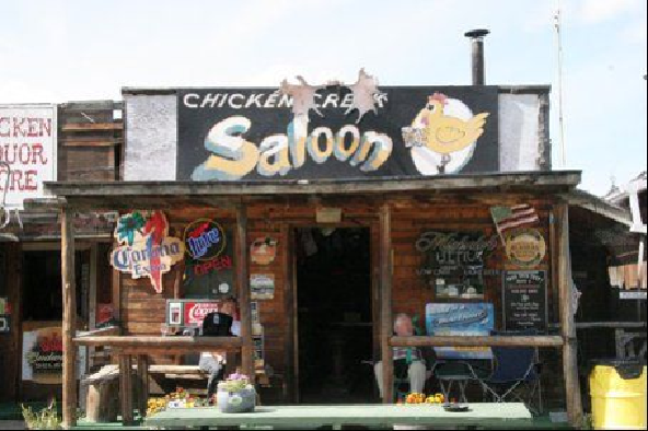
Chicken is a gold rush town. At least the first town site was. The original Chicken is actually
some 25 miles away on private land. The new town is a funky little place that is home to
a “gold rush style” retail strip consisting of a gift shop, a cafe and a saloon. Down the hill
there are a couple RV parks, another cafe and vault toilets surrounded by pansies.
Search WWH ::

Custom Search