Travel Reference
In-Depth Information
exposed ridge, ducks through a small redwood-fringed gully, then returns to the dry
slopes of chamise, manzanita, scrub oak, live oak, black sage, and scattered pines and
yuccas. Just as suddenly, you'll reenter shady groves along Redwood Creek.
Descending 0.1 mile, you'll reach an unmarked spur on the right (11.9 miles,
1780') to Redwood Camp's larger sites. If you miss this narrow spur, just continue
150 yards farther past two small sites and cross the river. The larger sites now lie a
minute downstream.
The first site on the east bank sits amid large boulders and old-growth redwoods.
Seventy feet downstream past a small seep, the trail leads to the biggest site, which
can accommodate up to 10 tents. This site is perched atop a flat bench carpeted in wild
strawberries, starflowers and sorrel in the shade of redwoods, tanoaks, and madrones.
If you continue eastbound on the Pine Ridge Trail, expect conditions to worsen.
Overgrown brush, loose tread, and exposed slopes make the 2770-foot climb over the
next 3.9 miles to
Pine Ridge
a strenuous adventure.
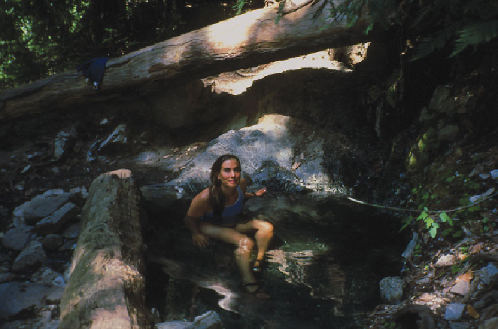
Sykes Hot Springs is one of Big Sur's most popular backcountry destinations.
From Pine Ridge, the
Black Cone Trail
leads into the heart of the wilderness,
skirting some of Ventana's highest peaks and ridges (see
TRIP 53 Black Cone Trail
to Arroyo Seco
). If you intend to hike the entire 23.1 miles of the Pine Ridge Trail,