Travel Reference
In-Depth Information
years ago, these ancient beds jut from the canyon walls along the downthrown side
of the Church Creek Fault. Native Esselen tribes once used these outcrops as shelters.
Many of their pictographs remain on cave walls.
Trip Description
A sign at the trailhead (2180') states that Pine Ridge Trail is 7 miles away and Pine
Valley 8 miles. You'll quickly cross a small stream and enter the
Ventana Wilder-
ness.
The trail parallels the creek in the shade of bigleaf maples, live oaks, Coulter
pines, and ceanothus thickets. For the next half mile the well-defined yet slightly
overgrown trail recrosses the creek three times and ascends minor ridges and gullies
to the
first of seven divides
(0.8 mile, 2770').
Pause at the saddle to take in views southwest to the
Church Creek
and
Tassa-
jara Creek
confluence, northwest to massive sandstone beds along the canyon bot-
tom, and west along the spine of the ridge that separates the
Big Sur
and
Arroyo Seco
watersheds. The
Black Cone Trail
closely follows this distant ridge.
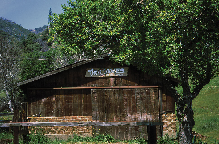
“The Caves” is named after the sandstone formations that form primitive shelters along the
ancient canyon walls above Church Creek.