Travel Reference
In-Depth Information
or lack of water. You'll encounter a dramatic vegetation shift atop the ridge (1.9 miles,
1000'), as you enter dry thickets of manzanita and chamise.
The path crosses the ridge to a narrow
spur junction
(2 miles, 1010'), which
bears right and climbs 50 feet to the
summit,
topped by a large antenna. Turn your
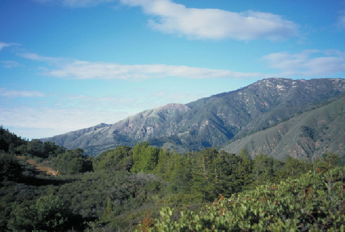
back to the obtrusive antenna for beautiful views down
Sycamore Canyon
to the Pa-
cific. Gaze east to take in the steep narrow Big Sur River gorge and the
Manuel Peak
Trail,
which switchbacks and ascends the gorge's sheer north walls.
Back on the main trail, you'll skirt the ridgeline south for 200 feet, then descend
a few large steps to reenter dense stands of redwoods, bays, and tanoaks. The next
0.7 mile is a gradual descent with limited views across the river gorge. From the loop
junction, retrace your steps 1.4 miles to the trailhead.
Atop Buzzard's Roost, keep an eye out for the 9-foot wingspan of the California condor.