Biology Reference
In-Depth Information
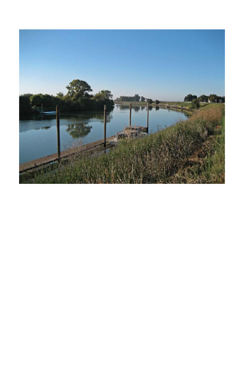
The Sacramento River winds its way through the warm, flat Central Valley. Farther
upstream, below Shasta Dam, boaters often bring cushions to sit on because the
water can be cold enough to be felt through fiberglass. (Francis Parchaso)
time the Sacramento River flows past the town of Rio Vista, the salinity is
around 2 ppt. A little farther downstream, in San Pablo Bay, the salinity
more than doubles to around 7 ppt. The water is about 30 ppt—nearly as
salty as straight seawater—beneath the Golden Gate. In other words, the
salinity is greatest near the ocean and smallest near the rivers.
The rivers—two large ones and nearly a dozen tributaries—deliver
most of the fresh water in the estuary. These rivers, in turn, gather their
water from the runoff of rain and the melting of snow into creeks, streams,
drains, and culverts from a watershed that encompasses 40 percent of the
state of California. Nearly half the land area of the state drains into San
Francisco Bay.
The drainage itself is significant. Between 1921 and 1990, flows into the
bay from upstream ranged from six million acre feet (maf ) to more than
69 maf, depending on whether California was experiencing drought or
deluge, and on how much was diverted for human use. Currently, an aver-
age of about 24 maf arrives per year, an amount about five times the vol-
ume of the bay, making this freshwater inflow one of the most powerful