Geoscience Reference
In-Depth Information
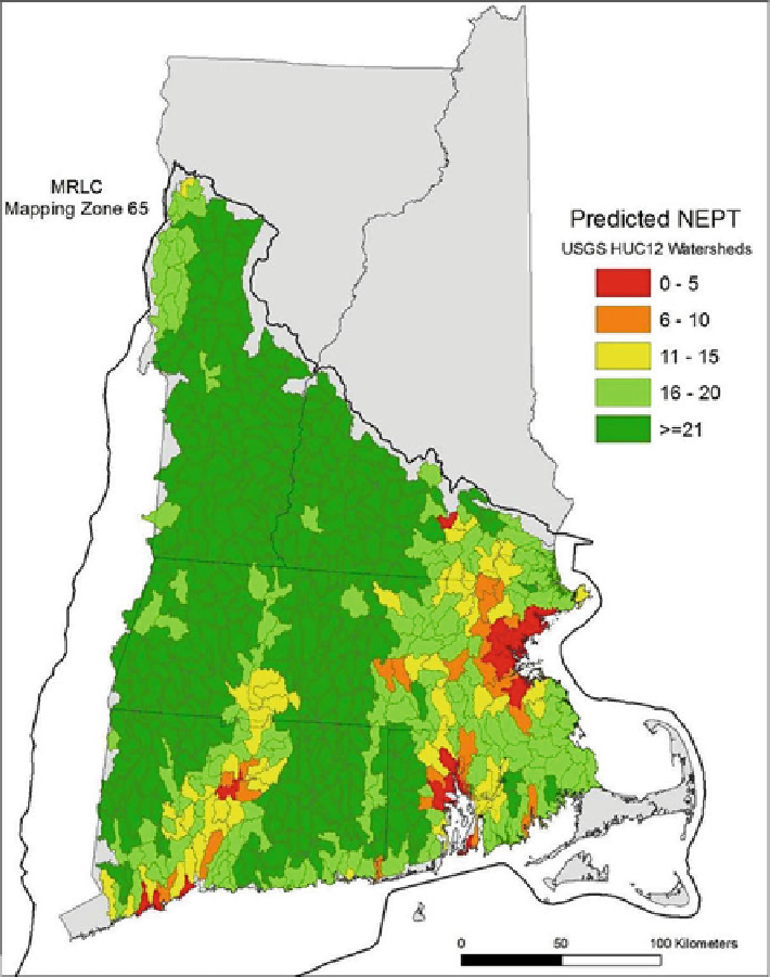
Fig. 4.5 A map showing the predicted number of EPT individuals for HUC12 watersheds in
southern New England (MRLC mapping zone 65). The area within this region has a relatively
uniform lithology. These results are from an MLR model that did not utilize landscape weighting
of the land cover variables (see Fig.
4.4
)
was used to predict nEPT in catchments of the Upper Delaware (UPDE) scenic
river watershed to the west of the New England study area described in this
chapter (Fig.
4.6
).