Geoscience Reference
In-Depth Information
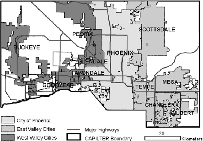
Fig. 3.1 Map of the study region with city boundaries, also noting designation of “East Valley”
and “West Valley” regions used in analyses
3.5 Why Participatory GIS?
Geographic Information Systems (GIS) has been defined many different ways and
with only a few exceptions (e.g. Harvey and Chrisman
1998
; Poore and Chrisman
2006
), these definitions focus on computing applications capable of creating,
storing, analyzing and visualizing geographic information, placing little emphasis
on the political dimensions of these processes (Dunn
2007
). In traditional GIS
methods, data precision and accuracy is a product of the quality of the record
keeping systems that generate the data set and often (in the case of mapping
exposure to toxins from smokestacks, for example) a product of the distributive
modeling choices of the researcher (Sieber
2006
). The potential to criticize the false
precision and accuracy of these mapping efforts grows exponentially as the quality
of the data set degrades (from an empirical perspective). This can contribute to a
framework for research that relies only on data sets that are easy to access and may
limit the scope of scientific inquiry as well as the types of knowledge and knowl-
edge holders that are most easily assimilated into a GIS. Often, as demonstrated in
this paper, there is a strong theoretical or applied reason to consider mapping
alternate forms of knowing or find ways to validate and improve a data set built
from diverse record keeping systems and to acknowledge the political and cultural
components of mapping efforts.