Geoscience Reference
In-Depth Information
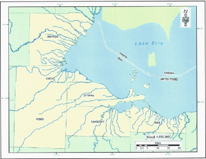
Fig. 11.1 Western Lake Erie basin study area
recreational and tourism use around Sandusky and Catawba Island have been
selected for use to develop map layouts and a systematic approach to protection
strategy planning as examples for the production of associated maps covering the
western basin and possibly elsewhere in the Great Lakes.
11.3 Methods
All disasters or emergencies are local by nature and occur in a geographic context
of space and place (Brooks
2008
). The relationship between the event and its
surroundings is important to the conduct of response activities. The primary goal
of any emergency response is to minimize property damage and loss of life as a
result of a natural or manmade disaster. Any kind of event requiring the attention of
public safety officials is by its nature spatial. For example, in the context of this
study, an accident involving a collision between two ships in the open lake has a
spatial location, any response to the accident must take into account the location of
the accident, amount and type of product spilled, weather conditions and the
location of potentially affected resources among other considerations. The emer-
gency management process is generally organized into four phases: mitigation,
preparedness, response and recovery (Cova
1999
).