Geology Reference
In-Depth Information
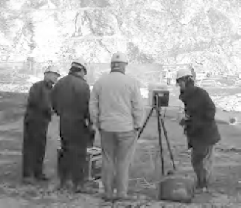
Korea. Point clouds can be used to measure discontinuity geometry remotely.
Geophysical techniques are used to identify the disposition of soil
and rock units, based on differences in physical properties such
as strength, density, deformability, electrical resistance and
magnetism. They can sometimes be used successfully to identify
cavities such as mine workings or solution hollows and for
identifying saturated ground. Geophysics really comes into its
own for offshore investigations where drilling is very expensive.
Geophysics can provide considerable information on geological
structure and rock and soil mass quality, which is relevant to
engineering design, although such techniques are rarely used by
themselves but as part of a wider investigation involving bore-
holes. Many engineering geologists and geotechnical engineers
have both good and bad experience of engineering geophysics.
Darracott & McCann (1986) argue that poor results can often be
attributed to poor planning and the use of an inappropriate
technique for the geological situation. More speci
cally, key
constraints are:
penetration achievable
resolution
signal-to-noise ratio, and
lack of contrast in physical properties.