Environmental Engineering Reference
In-Depth Information
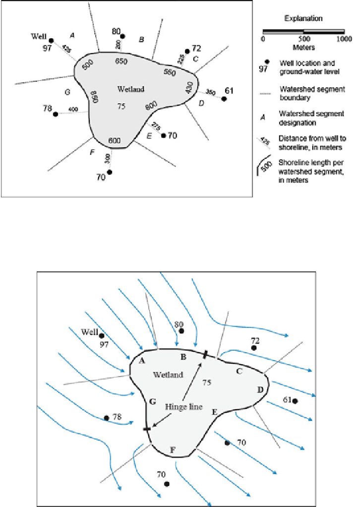
Fig. 3.21 Segmenting of a hypothetical wetland for determination of Darcy fluxes based on locations
of seven monitoring wells surrounding the wetland (Modified from Rosenberry et al. (
2008
).
Published with kind permission of the U.S. Geological Survey. Figure is public domain in the
USA. All Rights Reserved)
Fig. 3.22 Wetland perimeter divided into segments for determination of Darcy fluxes with
groundwater flowlines shown in
blue
(Modified from Rosenberry et al. (
2008
). Published with
kind permission of the U.S. Geological Survey. Figure is public domain in the USA. All Rights
Reserved)