Environmental Engineering Reference
In-Depth Information
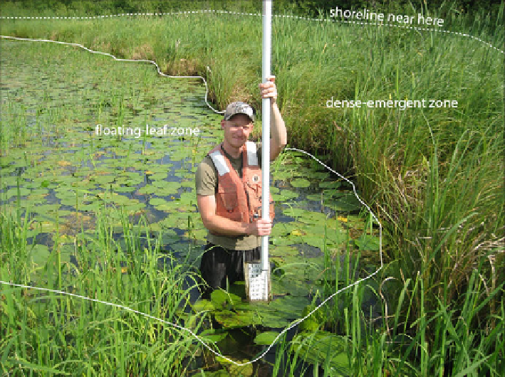
Fig. 3.1 Example of a wetland where the shoreline is not easily distinguishable (Photo by Donald
Rosenberry)
Methods that provide high-resolution topographic information, such as a map
generated by the light detection and ranging (LIDAR) technique, are particularly
useful for determining appropriate areas to assign to specific stages. These methods
are best employed when stage is lowest. Also, some wetlands that normally have no
surface-water outlet can develop one during extremely wet periods. This process is
commonly referred to as “fill-and-spill” (van der Kamp and Hayashi
2009
; Shook and
Pomeroy
2011
;Shawetal.
2012
). Modern approaches based on differential geo-
graphic information system (GIS) are capable of determining stage- and scale-
dependent contributing areas with regard to net overland flow that contributes to a
particular wetland basin. In situations where these relatively new tools and
procedures are prohibitively expensive or labor intensive, simplifying assumptions
based on general knowledge of wetland shape can provide reasonably accurate stage-
area and stage-volume relations (Hayashi and van der Kamp
2000
).
Some wetland basins become separate entities during dry periods and then
coalesce during wet periods (e.g., Winter and Rosenberry
1998
). Water budgets
need to be determined for each distinct wetland sub-basin, based on separate stage-
area and stage-volume relations, until the wetlands coalesce, at which point a new
stage-area relation should be used for the now combined wetland.
Thus far,
V
has been determined based on the surface area of the open-water
or standing-water portion of a wetland. This concept is not appropriate for
wetlands that do not contain standing water to any measurable depth; for example,
Δ