Global Positioning System Reference
In-Depth Information
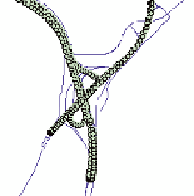
Fig. 8. DGPS Data Points Collected in Columbia County Every 2 seconds
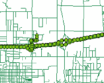
Fig. 9. DGPS Data Points Collected in Polk County Every 10 seconds
4.2 DGPS data point classification
This section identifies different cases (i.e., false negatives, false positives, no solution,
incorrect and correct snap, and solved spatial ambiguities) obtained from comparing
snapping results to the true roadway centerline on which a vehicle is traveling. The true
vehicle path was obtained by performing a visual examination of the collected data. Data
points are classified in these cases before and after applying the map-matching algorithm.
4.2.1 False negatives and false positives
False Negatives (FN) occur when data points fail to snap to any roadway centerline when
they should have snapped to one. False Positives (FP) are data points that snapped to some
roadway centerline when they should have not snapped to any centerline. Figure 10 shows
an example of three successive GPS data points (1, 2, and 3) considered as FN. They should
have snapped to Interstate 39 east bound direction, however, their buffers with radius r are
too small to include any roadway centerline.
4.2.2 Solved / not solved cases
If roadway centerlines exist within the buffer of a data point, then a correct snap occurs
when this point snaps along the true route of the vehicle. Conversely, an incorrect snap is
obtained when a data point snaps to a roadway that is not on the true route of the vehicle.

Search WWH ::

Custom Search