Global Positioning System Reference
In-Depth Information
reveal optimistic results but, at the same time, produce an over fitted surface model that
should be avoided in geoid modelling. While modelling with ANFIS, deciding an optimal
architecture for the system is based on trial and error procedure.
Longitude (
E)
°
(a)
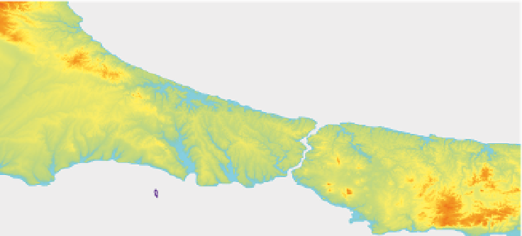
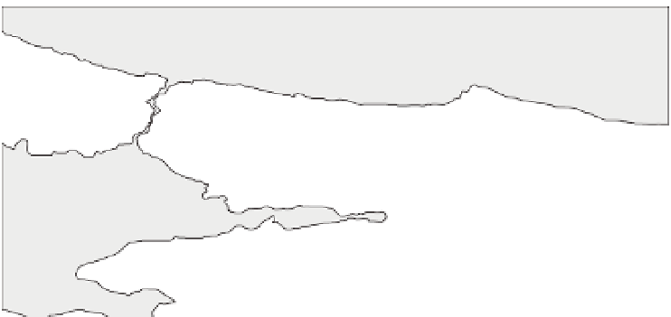
IZNIK LAKE
Longitude (
°
E)
(b)
Fig. 10. Geoid height differences of polynomial models and observations in centimetre
(Δ
N
=
N
GNSS/lev.
−
N
poly.
): (a) Istanbul, (b) Sakarya


Search WWH ::

Custom Search