Graphics Reference
In-Depth Information
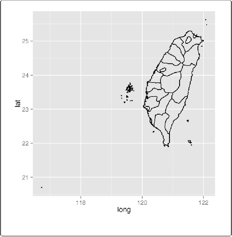
Figure 13-39. A map created from a shapefile
Discussion
Esri shapefiles are a common format for map data. The
readShapePoly()
function reads a
shape file and returns a
SpatialPolygonsDataFrame
object:
taiwan_shp
<-
readShapePoly(
"TWN_adm/TWN_adm2.shp"
)