Graphics Programs Reference
In-Depth Information
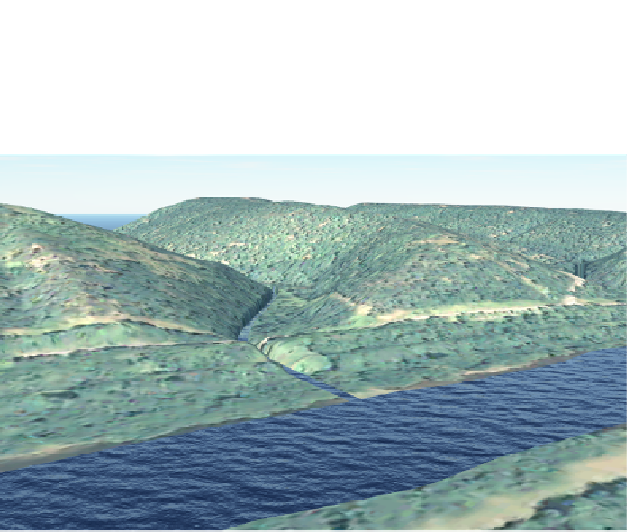
areas are good for ponds, lakes, pools, or rivers—in cases where you need the
width of the river to vary. In Figure 4.13 you see the two types of water features.
In the foreground is a water area, and in the background is a river.
fIgure 4.13
InfraWorks water features
Rivers and water areas are similar to roads and coverages but there are a few
characteristics that make water features unique. First, water features are their
own type of object in InfraWorks called a
water area
(whether created with the
River or Water Area command, both are considered to be the
water area
type).
In addition, water areas have special properties such as
buffer width
,
bank width
,
and
water level
. They also have their own designated style type, which enables
the customization of buffer width and bank width, as well as the materials used
to represent those areas. Water area styles can also be used to set the depth
of the water below the terrain and whether the water even integrates with the
terrain at all. You'll learn more about water area styles later in the book. Also,
unlike coverages, water areas are always flat and do not drape themselves over
the terrain. In fact, water areas do not have vertex elevation gizmos. The overall
elevation of a water area can be adjusted, but the individual vertex elevations
cannot.
Search WWH ::

Custom Search