Graphics Programs Reference
In-Depth Information
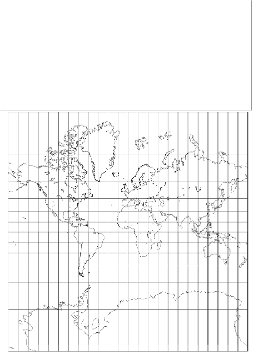
Gerardus Mercator was a well-known 16th century cartographer who is remembered
mostly for the useful projection now named after him. He was Flemish (his birth
name was Gerard de Cremer) of German ancestry, and the name “Mercator” means
“merchant” or “marketer.” Although not a traveler himself, he became interested in
geography, maps, and cartography as a young man. His first project, in the mid-1530s,
was to construct, with two collaborators, a globe of the Earth. Later, he produced
maps of the Holy Land, the world, and Flanders.
After being charged with heresy and spending time in prison, he moved to the town of
Duisburg, where he became a professional cartographer and also taught mathematics.
In 1564 he reached the peak of his career when he became court cosmographer to
Duke Wilhelm of Cleve. His famous projection was conceived a few years later as an
aid to sea navigation.
(Continues
...
)
Figure 4.54: Mercator Projection.
Search WWH ::

Custom Search