Agriculture Reference
In-Depth Information
1
2
3
4
5
6
7
8
9
10
11
12
13
14
15
16
17
18
19
20
21
22
23
24
25
26
27
28
29
30
31
32
33
34
35
36
37
38
39
40
41
42
43
44
45
46
[285
Line
——
-2.9
——
Norm
PgEn
[285
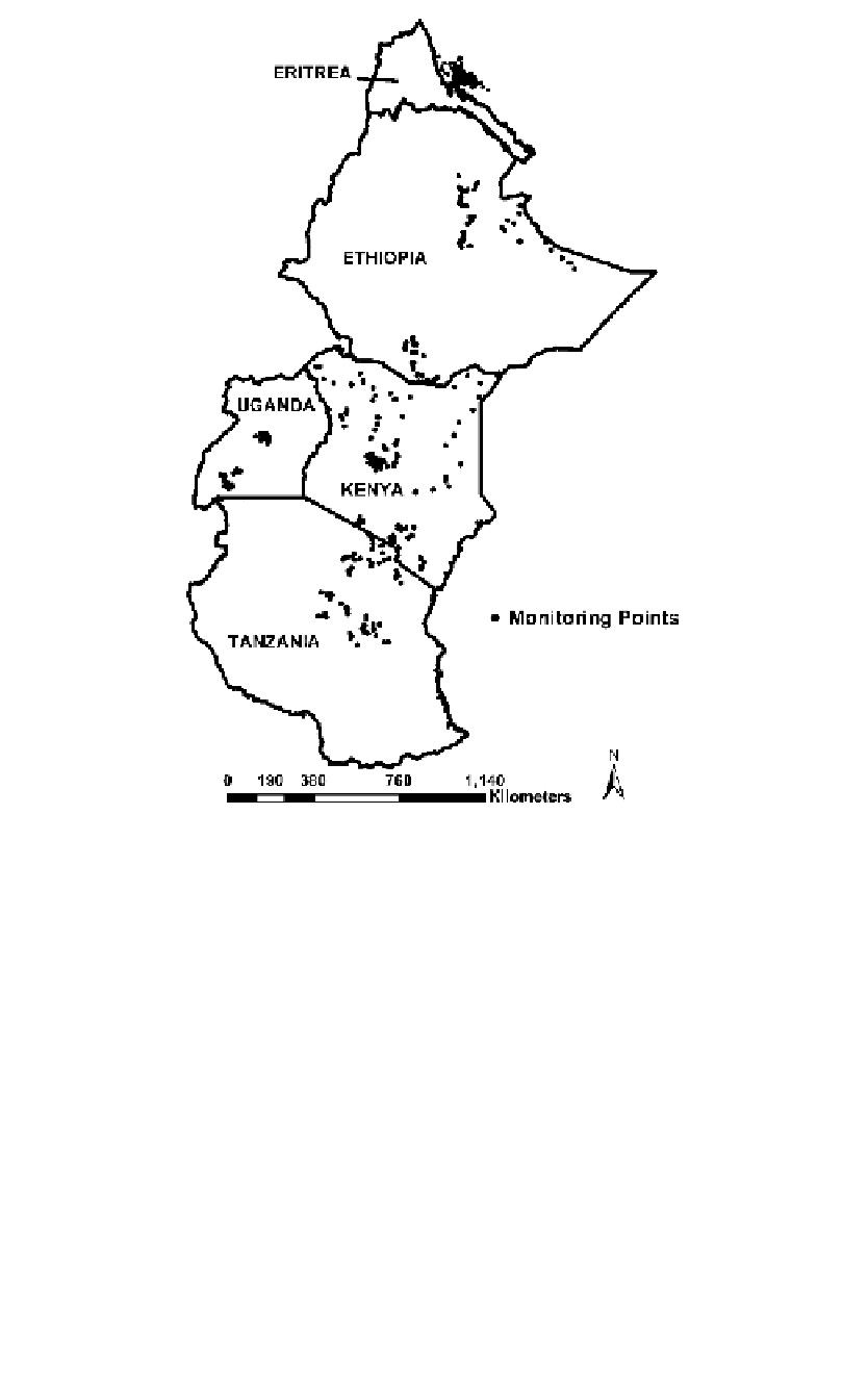
Fig
ure 22.1
The extent of the pastoral regions in East Africa and the location of the Livestock
Early Warning System drought-monitoring sites relative to climatic clusters in the region (i.e.,
zones of similar climatology).
and Burundi). Emphasis was placed on assisting institutions to use the
system and to create educational programs to help pastoral communities
better use the information to cope with drought. Keeping this in mind, the
selection of the monitoring sites depended on the inherent infrastructure
(roads, markets, towns, water) of the region, location of rural populations,
livestock density, location of the dominant ecological sites, traditional an-
imal movement networks, disease incidence, and conflict.
Each monitoring site was so located that the trained site monitor could
easily report on-site conditions or provide the analytical team feedback on
how the models were performing for that site. On average, one to three
sites were selected for the site monitor to visit each month. Because the
LEWS system seeks to model the forage production and availability, each


Search WWH ::

Custom Search