Environmental Engineering Reference
In-Depth Information
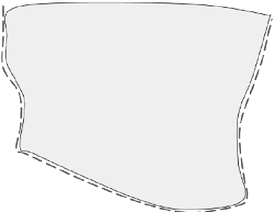
The attribution of risk to individual assets is
achieved by first developing a relationship be-
tween the defence assets (d) (as shown in
Figure 15.8) and the 'adjacent Impact Zones'
(Impact Zones are topographic watersheds
resolved within the RFSM), and then between
'adjacent' and 'non-adjacent' Impact Zones (i.e.
those topographic watersheds remote from the
river or coastal boundary).
Through the RFSM it is possible to associate
the volume of water discharged into each 'adja-
cent Impact Zone', under each sampled system
state, to the flood depth (hence consequential
impact) in other non-adjacent Impact Zones by
monitoring the flow of flood water as it propa-
gates across the floodplain area. The quantified
impacts associated with each (non-adjacent) Im-
pact Zone are then apportioned to each of the
adjacent Impact Zones accordingly (i.e. the total
consequential impact for the whole Flood Area is
expressed only in terms of the 'adjacent' Impact
Zones). The defence contribution, for example for
defence number d
1
, to the damage c
d
1
is, for each
flooding scenario, simply:
asset manager in targeting and prioritizing re-
sources to maximize risk reduction. Two distinct
approaches have been developed to enable risk to
be attributed to specific defence assets:
.
a rigorous systems modelling approach;
a simplified field-based approach.
These two approaches are described below.
.
A rigorous systems modelling approach
The systems modelling approach described by
Gouldby et al. (2008) enables the contribution that
an individual asset makes to the risk to be attrib-
uted to that asset. The method of risk attribution
involves maintaining the relationship between
the quantity of water discharged through each
individual asset and the quantified impact of the
resulting flood. This ability to trace the flow of
water across the floodplain is provided by the
Rapid Flood Spreading Method (RFSM; Lhomme
et al. 2008) used within the systems analysis, and
enables the relationship between inflow and im-
pact to be explicitly identified for every system
state considered (Fig. 15.8).
Flood Area
(defines a self contained floodplain)
IZ
j
IZ
j+7
IZ
j+8
Impact Zones
IZ
j+9
Impact Zones
(IZ adjacent)
(IZ non-adjacent)
IZ
j+1
IZ
j+6
IZ
j+5
Impact Cells
(IC)
IZ
j+2
IZ
j+3
IZ
j+4
d
1
d
2
d
3
Impact Zones -Define the resolution of the calculated water level
Impact Cells -define the resolution of the flood depth (or velocity)
d
4
River or coastal boundary
Fig. 15.8
Conceptual diagram of the backdrop of the RASP system model for one Flood Area.