Environmental Engineering Reference
In-Depth Information
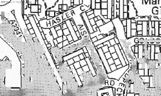
Fig. 12.9
Modelling of urban
inundationat high resolution. (See the
colour version of this figure in Colour
Plate section.).
a simple cell indexing approach in the numerical
algorithm, retaining a lot of the algorithmic sim-
plicity of structured grid models while allowing
local refinement.
Finally, it must be noted that recent research
has investigated the sensitivity of inundation
model results to resolution (Horritt et al. 2006;
Fewtrell et al. 2008; Schubert et al. 2008). While it
can be accepted that refinement normally leads to
more accurate solutions, the benefits to be gained
from the use of finer grids are far from self-evident
because of the the loss in computational efficiency
involved.
Risk-based methods (Hall et al. 2003) rely on
the ability to simulate large numbers of scenarios,
taking into account uncertainties in the drivers of
flooding. In practical applications these uncertain-
ties are such that performing low-resolution si-
mulations may allow many more of them to be
run, and eventually a better estimate of risk (and
associated uncertainties) to be computed. In this
respect there is an essential difference between
model output variables such as water level and
velocity. The former is oftenmuchmore smoothly
varying in space than the latter, which may show
very steep local gradients particularly in the urban
area. The prediction of flood velocity is therefore
at the present time somewhat incompatible with
risk and uncertainty computations (N ´ elz and
Pender 2008).
The challenges of urban inundationmodelling
The limitations of the approach consisting in
modelling streets as 1D channels as part of a 1D
computational model have already been intro-
duced (see 'Model parameterization and terrain
geometry' above; see also Lhomme et al. 2005),
and most modellers favour two-dimensional ap-
proaches. These can be divided into two classes:
the high-resolution alternative where flow path-
ways along streets and between buildings are re-
presented, and the low-resolution option, which
often imposes itself in practical applications on
grounds of computational affordability, where
such flow pathways and their overall effects on
the flow field must be somehow modelled as a
subgrid-scale physical process. No clear threshold
value of the grid resolution allows distinguishing
between the two, but it is usually the case that a
grid finer than
5m will allow most narrow
streets and gaps between buildings to be resolved,
although this may sometimes have to be refined
further, for example in many historical city cen-
tres (Haider et al. 2003), or in situations involving
highly transient flows (Soares-Frazao and Zech
2008). A number of difficulties arise when setting
up a high-resolution flood model of an urban
environment. First, spatially varying roughness
values must be set to account for various surface
types (tarmac, grass, any tall vegetation, gardens).

