Geography Reference
In-Depth Information
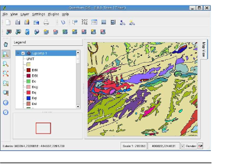
Figure 3.16: QGIS unique renderer result
some information about the feature and open the results dialog box, as
The results show each field name in the left column and the corre-
sponding value in the right column. You'll have to expand the result
nodes to see the field values if more than one feature is returned. In
can see that it is a capital city with a population of 1,140,000.
If you attempt to identify a feature and QGIS tells you it can't find
anything at that location—despite that you're sure you clicked it—you'll
have to adjust the tolerance used for finding a feature. This setting is on
the Map Tools tab of the Options dialog box, accessible from the
Settings
menu. It's specified as a percentage of the map width. If the default
value isn't working, try increasing it. If you increase it too much, you
will end up with multiple features returned instead of the one you want.
A setting of 0.7% is probably a good starting point for a map with global
extent. If you still don't get any results, check to make sure you have
activated the layer by clicking its name in the legend.


Search WWH ::

Custom Search