Geography Reference
In-Depth Information
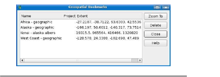
Figure D.2: QGIS Geospatial Bookmarks dialog box
D.4
Plugins
As you may have gathered already, QGIS supports the use of plugins to
add new capabilities and tools. Basically, a plugin is a loadable module
that can be added and removed from QGIS. With the release of version
0.9, QGIS supports writing plugins in both C++ and Python.
Let's get a brief description of each of the twelve plugins distributed
with QGIS.
Add Delimited Text Layer
Loads and displays data from a delimited text file. The text file
must contain x and y coordinates for each feature. Only point
data is supported by the plugin. You can find an example of using
Copyright Label
Displays copyright information on the map canvas. You can cus-
tomize the text, style, and placement of the label.
GPS Tools
Tools to load and import GPS data, as well as download to your
GRASS
A full suite of GRASS tools for loading vector and raster maps,
digitizing features, and using modules to import, export, and pro-


Search WWH ::

Custom Search