Geography Reference
In-Depth Information
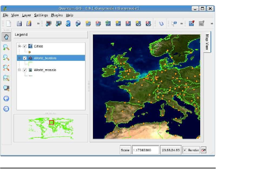
Figure A.6: Quantum GIS
Additionally, it supports PostGIS layers (stored in a PostgreSQL data-
base), delimited text, GPS tracks, routes, and waypoints, and GRASS
layers. With QGIS you can edit PostGIS and GRASS layers and do
heads-up digitizing.
QGIS and GRASS
QGIS is not a full-fledged GIS application (the only one I consider in
that category throughout our survey is GRASS). To enhance its capa-
bilities, QGIS supports viewing, editing, and manipulation of GRASS
data through its plugin facility. This allows you to create data from the
GRASS command line and view it in QGIS. The GRASS toolbox provided
by the plugin allows you to perform many common functions without
leaving QGIS.
QGIS is an application that has something for every class of user.
Casual users will find it a handy tool for visualizing data and work-
ing with your GPS data. Irving and his cohorts (that's you intermediate
users) can use QGIS to create and edit data in a number of formats.


Search WWH ::

Custom Search