Geography Reference
In-Depth Information
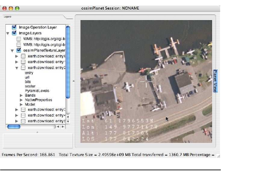
Figure A.5: ossimPlanet viewing hi-res imagery
other WMS servers around the Internet, including NASA JPL. At this
point I'd say the raster processing capabilities are for the advanced
user. But casual and intermediate users might find it a great tool for
viewing raster data from a number of sources across the Internet. The
fact that you can drag and drop your own shapefiles right into ossim-
Planet is a great advantage too. Just keep in mind that your shapefiles
have to be in geographic (read latitude/longitude) coordinates in order
to display them in ossimPlanet.
Pros and Cons
The pros for the OSSIM suite are as follows:
• Impressive raster processing capabilities
• Access to a huge repository of data on the Internet through using
ossimPlanet
• Runs on most platforms
• Community support via website, mailing list, and IRC


Search WWH ::

Custom Search