Geography Reference
In-Depth Information
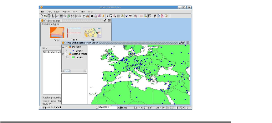
Figure A.3:
world_borders
and
cities
layers in gvSig
What kind of user would want to use GRASS? Although it's definitely
not for Clive, our casual user (he should use the QGIS-GRASS inte-
gration), it's a good choice for our advanced user Alyssa. Intermediate
users will find parts of it that may be useful and worth a test drive.
Only you can tell whether it's for you.
gvSIG
gvSIG is written in Java.
gvSIG is an open source project that allows you to work with a variety
of vector and raster data formats, including shapefiles, GeoTIFF, ECW,
JPEG, WMS, WFS, and WCS. gvSIG provides a set of editing tools for
maintaining your data. gvSIG is multiplatform, running on Windows,
Linux, and Mac OS X. Plugins can be used to extend the functionality
see gvSIG with the
world_borders
and
cities
layers.
Pros and Cons
The pros for gvSIG include the following:
• Good format support including web-deliverable data
• Extensible through plugins
• Editing and drawing tools
• Map layouts
• Geoprocessing tools (buffer, intersection, union, and so on)


Search WWH ::

Custom Search