Geography Reference
In-Depth Information
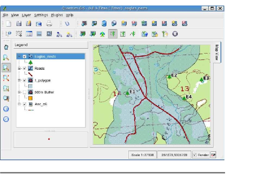
Figure 12.10: Roads buffered using GRASS in QGIS
Let's help the eagles shop for a new nest site. In this case, we need
to buffer the roads by 500 meters to define the areas unsuitable for
nesting. We first start by creating a new empty roads map using our
QGIS-GRASS skills. Then we digitize the main roads from the topo-
graphic raster map using the GRASS edit tools. Since this is a one-shot
analysis, we can get away without entering attributes for our roads. If
we were going to use the road map in future work, we would need to put
a little more thought into the attributes and enter them as we digitize.
Once we have the roads digitized, we can use the Vector Buffer module
to buffer the roads. When we display the roads and the buffer, we can
easily see sites in Figure
12.10
that aren't suitable for marketing to Mr.
and Mrs. Eagle.
You can also buffer a raster map, in which case the cells of the raster
are buffered based on distance zones you set up. If you are interested
in this kind of buffer processing, the GRASS manual is your friend.
You can see the utility of a simple geoprocessing task like buffering.
With the GRASS plugin in QGIS, this kind of GIS analysis is easy to do.


Search WWH ::

Custom Search