Geography Reference
In-Depth Information
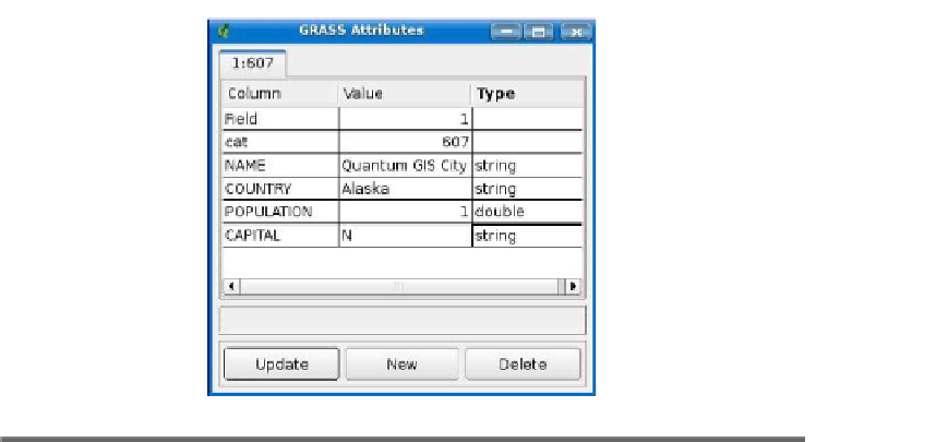
Figure 12.4: Adding attributes to a GRASS feature
We'll explore some of these options later, but for now, automatically
assigning the next available category seems like a good way to go. The
first tool on the toolbar is
New point
. Let's use it to create a new city
in Alaska named, for lack of a better term, Quantum GIS City. First
we zoom in to where we want to create the city, choose the
New point
tool by clicking it, and then click the map to place the feature. When
we click, the city is created on the map, and the GRASS Attributes
dialog box opens to allow us to enter the information for the new city. In
city (OK, I know that Alaska isn't a country, although some Alaskans
wish it were). The category (607) was automatically assigned for us, and
we entered the name, country, population, and capital. When we click
Update, the information is updated in the GRASS database. We could
choose to create another new record or delete this one entirely, in which
case our feature would have no attributes.
We added the city, but nothing is saved until we close the editing tool-
box. Although I said when you click Update, the attributes are saved—
actually they are queued up and ready to be saved. Once we close the
editing tools, our changes are saved, and the new city is rendered on
the map using the same symbology as the rest of the cities.


Search WWH ::

Custom Search