Geography Reference
In-Depth Information
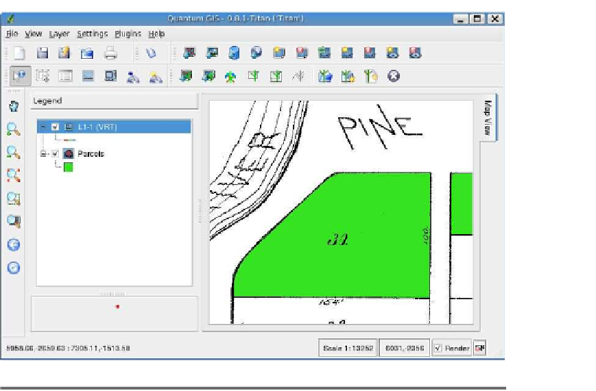
Figure 11.7: VRT raster over the parcel shapefile
to quickly locate the features of interest. There is more than one way
you will see how to create one using QGIS. Of course, there is a way
to do this from the command line as well. You'll find this useful if you
have a whole batch of shapefiles you want to index. Rather than load-
ing each one into QGIS, opening the properties dialog box, and clicking
the button to build the index, you can just write a simple script to do
the job. To create a spatial index, use the
shptree
application. You can
get
shptree
in a number of ways. It's included in the FWTools
9
distribu-
tion as well as in MapServer.
10
You're probably going to want FWTools
anyway, because it contains all the OGR and GDAL utilities we've been
using and a lot more goodies. Let's look at the usage:
$
shptree
Syntax:
shptree <shpfile> [<depth>] [<index_format>]


Search WWH ::

Custom Search