Geography Reference
In-Depth Information
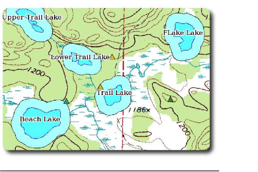
Figure 1.3: A 200-foot buffer around the lakes
really tell how far apart they are. He could use the fine tools provided by
his software to measure the distance from each sighting to the nearest
lake or lakes. But this is time-consuming and tedious, and the end
result can't be visualized. Fortunately, Harrison can use a common GIS
operation known as buffering.
Harrison proceeds to create a 200-foot buffer around his lakes (see
layer you want to buffer (lakes) and enter the distance. The software
then calculates the buffer around each lake and creates a new layer
containing the result. Harrison now proceeds to set up his display. He
adds the new buffer layer to the map, then the lakes, and finally the
bird sightings. Any bird sighting falling on the buffer layer is within
200 feet of a lake (or lakes). Harrison can quickly visualize his results
and see whether his theory is right. OK, so it turns out he was wrong.
It looks like the bird sightings don't necessarily fall within 200 feet of
a lake. Harrison decides he can still be right and goes off to create a
500-foot buffer.


Search WWH ::

Custom Search