Geography Reference
In-Depth Information
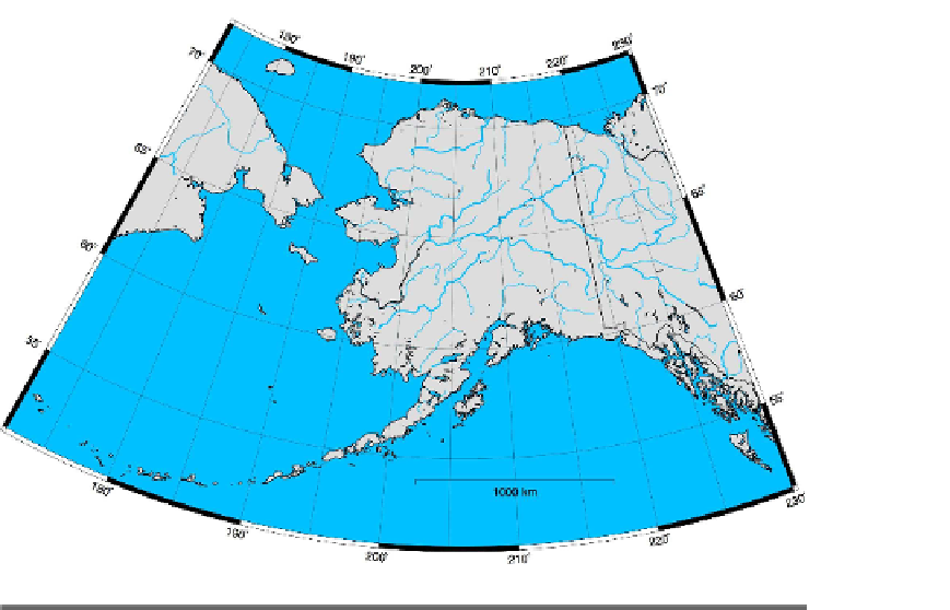
Figure 11.3: Alaska coastline generated with GMT
First let's look at the command to generate the base map:
pscoast -JN0/38 -R-180/180/-90/90 -K -W -G220/220/220 -S0/192/255 -N1 \
-P -B30g5:."Quantum GIS Users": > qgisusers.eps
About the only thing new in this command is we added a title to the map
by appending a colon and a period to the
-B
arguments and then the title
string. If you are getting the idea the
-B
switch has lots of permutations,
you are correct. Some have called it the most complicated (or confusing)
switch in the GMT suite of tools. Fortunately, it's well documented.
Note that we used
-JN
to specify the Robinson projection, centering the
map at 0 degrees longitude with a width of 38 centimeters.
This gives us a Robinson base map of the world with grid lines and
annotation of the tick marks. To add an overlay of data, we need to
make a couple of modifications to the base map. First we need to specify
that we want to be able to write to the output file in “append” mode. This
is done using the
-K
switch. This allows us to overlay the data created
with the next command. Without it, our next command would generate


Search WWH ::

Custom Search